
Talk:Rancho La Ciénega ó Paso de la Tijera
| This article is rated Start-class on Wikipedia's content assessment scale. It is of interest to the following WikiProjects: | |||||||||||
| |||||||||||

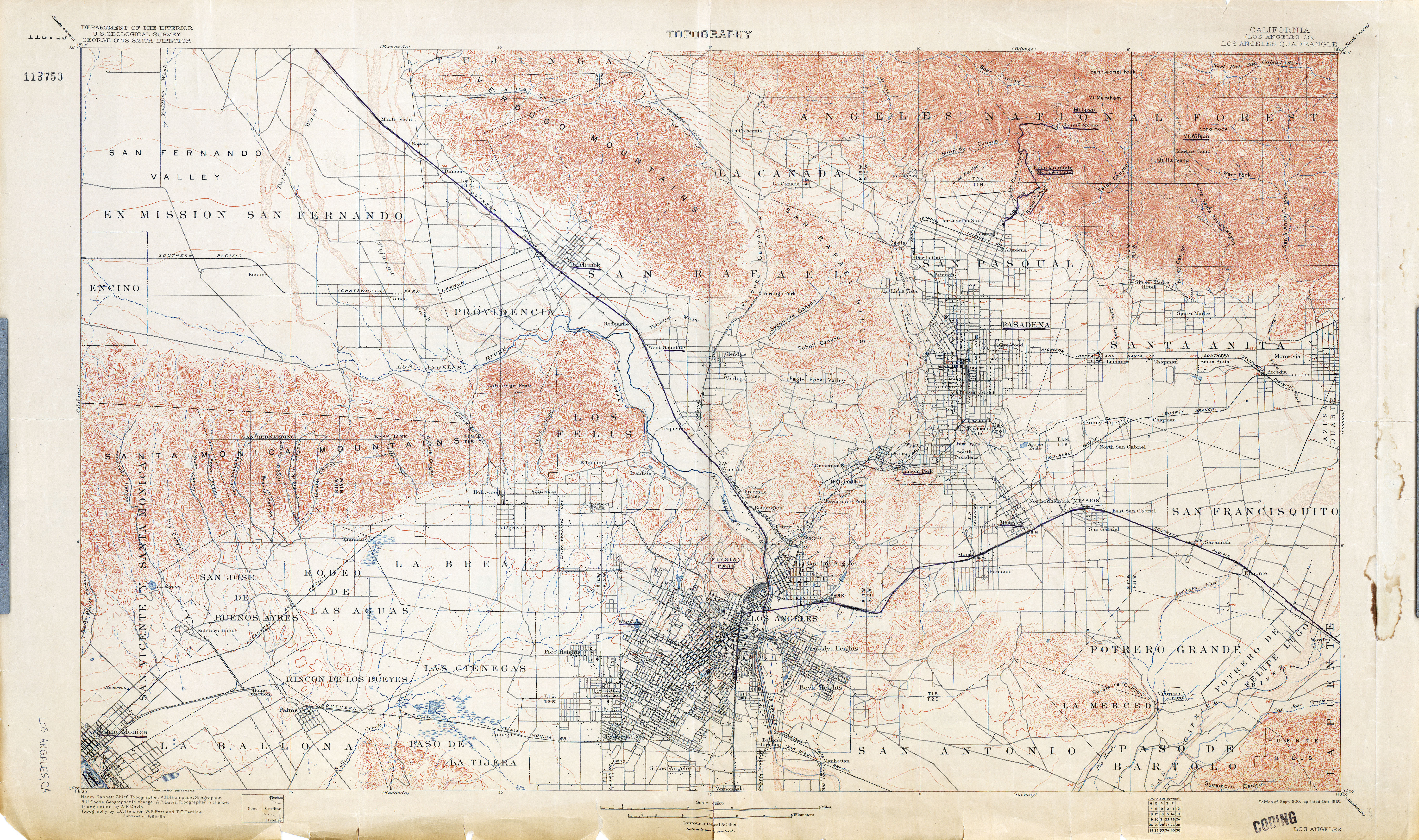
Dead link to USGS map[edit]
The link to the "1900 USGS Topo Map" is dead, but from looking at the file name and doing some Googling, I'm pretty sure it refers to this map: Los Angeles (Los Angeles County) 1894 1:62,500 (8.6MB) Mackerm (talk)