Template:POTD/2014-12-28
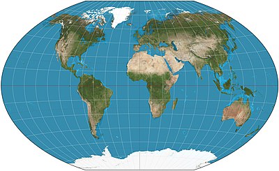
The Winkel tripel projection is a modified azimuthal map projection proposed by Oswald Winkel in 1921. The arithmetic mean of the equirectangular projection and the Aitoff projection, it was intended as a compromise between minimizing three kinds of distortion: area, direction and distance.
The imagery used for the map is derived from NASA's Blue Marble summer months composite, with oceans lightened to enhance legibility and contrast.Map: Strebe, using Geocart
| This picture of the day has been featured on Portal:Geography. |

