User:Dmpilla/Pilla Pond
| This is not a Wikipedia article: It is an individual user's work-in-progress page, and may be incomplete and/or unreliable. For guidance on developing this draft, see Wikipedia:So you made a userspace draft. Find sources: Google (books · news · scholar · free images · WP refs) · FENS · JSTOR · TWL |
| Pilla Pond | |
|---|---|
| File:Pilla Pond.jpeg Pilla Pond in 2020 | |
| Location | South Bethany, Delaware |
| Coordinates | 38°30′44″N 75°03′42″W / 38.5121°N 75.0616°W |
| Type | Inlet |
| Primary inflows | Jefferson Creek |
| Primary outflows | Jefferson Creek |
| Basin countries | United States |
| Surface area | 13.45 acres (5.44 ha) |
| Max. depth | 6 ft (1.8 m) |
| Shore length1 | 0.87 miles (1.40 km) |
| Surface elevation | 0.8 ft (0.24 m) |
| Islands | Lucky's Island |
| Settlements | South Bethany, Delaware |
| References | "Pilla Pond". Google Maps. |
| 1 Shore length is not a well-defined measure. | |
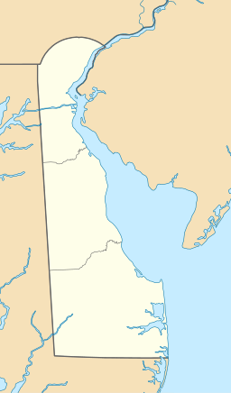
Pilla Pond is a pond in South Bethany, Delaware, in the United States.
Description[edit]
History[edit]
Legend[edit]
Subheading 1[edit]
Subheading 2[edit]
Activities and amenities[edit]
Influences[edit]
See also[edit]
References[edit]
Further reading[edit]
External links[edit]
Wikimedia Commons has media related to Dmpilla/Pilla Pond.
- Pilla Pond Google Maps
- Pilla Pond water surface elevation U.S. Geological Survey
- Pilla Pond hyrological gage chart Delaware Environmental Observing System


