
Vallegrande Municipality
This article may require cleanup to meet Wikipedia's quality standards. The specific problem is: Most of article is list of redlinks. (October 2014) |
Vallegrande Municipality | |
|---|---|
Municipality | |
 Vallegrande Municipality Location of Vallegrande within Bolivia | |
| Coordinates: 18°45′S 63°55′W / 18.750°S 63.917°W | |
| Country | |
| Department | Santa Cruz Department |
| Province | Vallegrande Province |
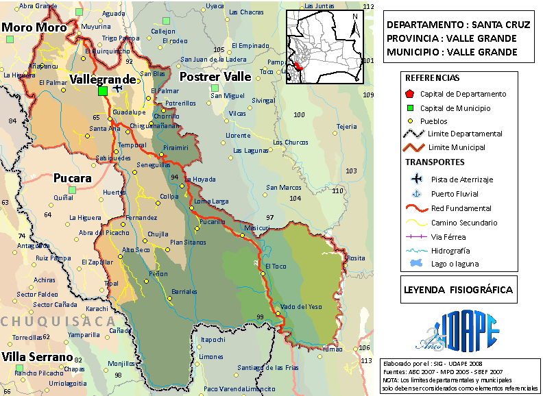
| Capital | Vallegrande |
| Area | |
| • Total | 3,191 km2 (1,232 sq mi) |
| Elevation | 2,030 m (6,660 ft) |
| Population (2012) | |
| • Total | 17,208 |
| • Density | 5.4/km2 (14/sq mi) |
Vallegrande Municipality is the first municipal section of the Vallegrande Province in the Santa Cruz Department, Bolivia. Its capital is Vallegrande.
Administrative divisions[edit]
The municipality of Vallegrande is divided into sixteen cantons.
- Alto Seco (cantón)
- Chaco (cantón)
- El Bello (cantón)
- Guadalupe (cantón)
- Khasa Monte (cantón)
- Loma Larga (cantón)
- Mankaillpa (cantón)
- Masicurí (cantón)
- Naranjos (cantón)
- Piraymiri (cantón)
- San Juan del Tucumansillo (cantón)
- Santa Ana (cantón)
- Santa Rosita (cantón)
- Sitanos (cantón)
- Temporal (cantón)
- Vallegrande (cantón)
Languages[edit]
The predominant language in the Vallegrande Municipality is Spanish.
| Language | Inhabitants |
|---|---|
| Quechua | 405 |
| Aymara | 103 |
| Guaraní | 12 |
| Another native | 21 |
| Spanish | 16,129 |
| Foreign | 80 |
| Only native | 61 |
| Native and Spanish | 446 |
| Only Spanish | 15,688 |
References[edit]
External links[edit]
- "Map of Vallegrande Province". La Comisión para la Gestión Integral del Agua en Bolivia (CGIAB). Archived from the original on 12 October 2007.
- "Map of Vallegrande Province". Unidad de Análisis de Políticas Sociales y Económicas (UDAPE), Government of Bolivia. Archived from the original on 2 February 2014.