
Chanthaburi River

Chanthaburi River (Thai: แม่น้ำจันทบุรี), formerly and still colloquially known as Chanthabun River (แม่น้ำจันทบูร) is a river in Thailand, regarded as the main watercourse of Chanthaburi Province.
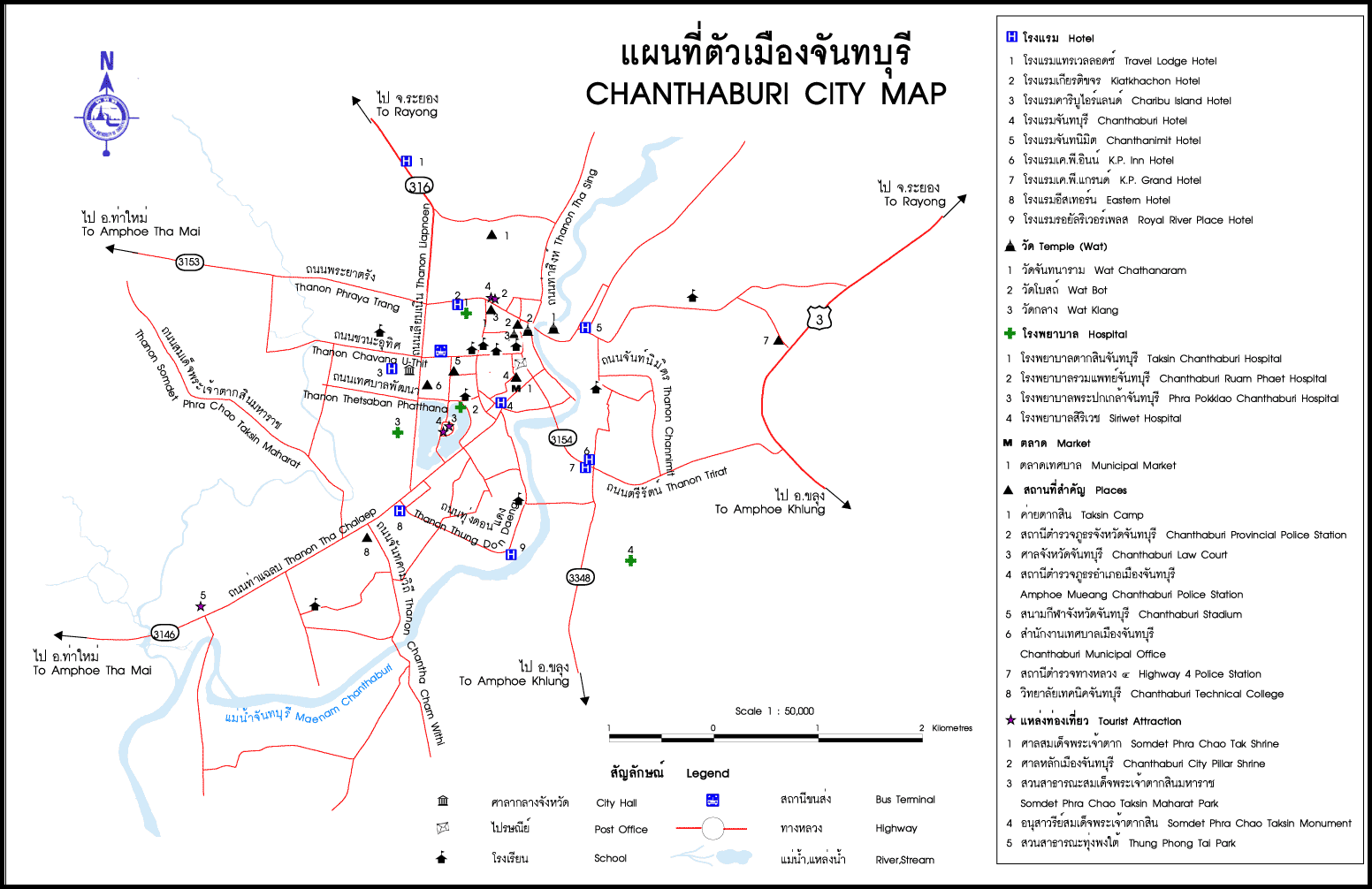
This river is about 120 km (74 mi) long. It is considered to be the longest river in the east region. Chanthaburi River originates from Khao Soi Dao Tai mountain in Pong Nam Ron District, Khao Sam Ngam and Khao Cha Am in the area of Makham District, flowing through Mueang Chanthaburi District to the Gulf of Thailand in Laem Sing District. It bisects Mueang Chanthaburi.[1] However, it was a locally known as Khlong Chanthaburi (คลองจันทบุรี). It has important tributaries including Khlong Ta Rong (คลองตารอง), Khlong Ta Lio (คลองตาหลิว), Khlong Thung Phen (คลองทุ่งเพล), Khlong Prue or Khlong Phayat (คลองปรือหรือคลองพยาธิ) etc.[2]
The phase of Chanthaburi River that flowing through the district of Mueang Chanthaburi has historical significance, because it is the location of the traditional community of three ethnic group, consist of Thai, Chinese and Vietnamese. It previously was called Baan Lum (บ้านลุ่ม).[3][4] Cathedral of the Immaculate Conception, a historic building and recognized as the most beautiful Catholic church in Thailand, located on the east bank of the river.
In the reign of King Rama V, it was an important route for traveling and trading. Traveling from Chanthaburi to Bangkok, it takes about three days. The main pier called Tha Pracha Niyom (ท่าประชานิยม).[3]
References[edit]
- ^ "แผนที่ตัวเมืองจันทบุรี" [Chanthaburi City Map]. Oceansmile Tour (in Thai).
- ^ "จังหวัดจันทบุรี" [Chanthaburi Province]. Thaiheritage (in Thai).
- ^ a b about Chan magazine (2017-04-07). "เรื่องน่ารู้เกี่ยวกับแม่น้ำจันทบุรีและเรือคายัค" [Knowledge about Chanthaburi River and Kayak]. facebook (in Thai).
- ^ "Chanthaboon Waterfront Community". ThailandTourismDirectory.