
Clare, Queensland
| Clare Queensland | |||||||||||||||
|---|---|---|---|---|---|---|---|---|---|---|---|---|---|---|---|
 Clare | |||||||||||||||
| Coordinates | 19°47′05″S 147°13′38″E / 19.7847°S 147.2272°E | ||||||||||||||
| Population | 201 (2021 census)[1] | ||||||||||||||
| • Density | 1.752/km2 (4.539/sq mi) | ||||||||||||||
| Postcode(s) | 4807 | ||||||||||||||
| Area | 114.7 km2 (44.3 sq mi) | ||||||||||||||
| Time zone | AEST (UTC+10:00) | ||||||||||||||
| Location |
| ||||||||||||||
| LGA(s) | Shire of Burdekin | ||||||||||||||
| State electorate(s) | Burdekin | ||||||||||||||
| Federal division(s) | Dawson | ||||||||||||||
| |||||||||||||||
Clare is a rural town and locality in the Shire of Burdekin, Queensland, Australia.[2][3] In the 2021 census, the locality of Clare had a population of 201 people.[1]
Geography
[edit]Clare is low-lying flat land (approx 20 metres about sea level). The Burdekin River forms the locality's eastern boundary. The land is used to grow sugarcane growing area and there is a network of cane tramways to transport the harvested sugarcane to the local sugar mills. The town is located in the east of the locality, near but not beside the river.[4]
The Clare Solar Farm was established in 2018 and is located in Clare.
History
[edit]The town was originally named Mulgrave, but was changed by Surveyor-General to Clare on 20 July 1882.[2]
A Burdekin receiving office was open by 1879. It was renamed Culburra in 1880. It became Mulgrave Post Office later that year, then Clare Post Office in 1882. It had closed by 1916.[5] Today the Clare post office can be found open,[6] where it also operates as a small general store.
Clare State School opened on 8 February 1950.[7] At the school, a time capsule can be located at the front gates - it is scheduled to be opened in 2025.
Demographics
[edit]In the 2006 census, the locality of Clare had a population of 410 people.[8]
In the 2016 census, the locality of Clare had a population of 196 people.[9]
In the 2021 census, the locality of Clare had a population of 201 people.[1]
Education
[edit]
Clare State School is a government primary (Prep-6) school for boys and girls at Larkin Street (19°47′00″S 147°13′36″E / 19.7832°S 147.2268°E).[10][11] In 2016, the school had an enrolment of 23 students with 2 teachers and 5 non-teaching staff (2 full-time equivalent).[12] In 2018, the school had an enrolment of 19 students with 2 teachers (1 full-time equivalent) and 6 non-teaching staff (3 full-time equivalent).[13]
There is no secondary school in Clare. The nearest secondary school is Home Hill State High School in Home Hill to the north-east.[4]
References
[edit]- ^ a b c Australian Bureau of Statistics (28 June 2022). "Clare (SAL)". 2021 Census QuickStats. Retrieved 28 February 2023.
- ^ a b "Clare – town in Shire of Burdekin (entry 40984)". Queensland Place Names. Queensland Government. Retrieved 26 December 2020.
- ^ "Clare – locality in Shire of Burdekin (entry 42283)". Queensland Place Names. Queensland Government. Retrieved 26 December 2020.
- ^ a b "Queensland Globe". State of Queensland. Retrieved 3 February 2021.
- ^ Premier Postal History. "Post Office List". Premier Postal Auctions. Archived from the original on 15 May 2014. Retrieved 10 May 2014.
- ^ "Post Office Claredale LPO (QLD)". AusPost. Retrieved 7 August 2024.
- ^ Queensland Family History Society (2010), Queensland schools past and present (Version 1.01 ed.), Queensland Family History Society, ISBN 978-1-921171-26-0
- ^ Australian Bureau of Statistics (25 October 2007). "Clare (Burdekin Shire) (State Suburb)". 2006 Census QuickStats. Retrieved 5 May 2011.
- ^ Australian Bureau of Statistics (27 June 2017). "Clare (SSC)". 2016 Census QuickStats. Retrieved 20 October 2018.
- ^ "State and non-state school details". Queensland Government. 9 July 2018. Archived from the original on 21 November 2018. Retrieved 21 November 2018.
- ^ "Clare State School". Archived from the original on 18 March 2020. Retrieved 21 November 2018.
- ^ "Annual Report 2016" (PDF). Clare State School. Archived from the original (PDF) on 4 October 2017. Retrieved 4 October 2017.
- ^ "ACARA School Profile 2018". Australian Curriculum, Assessment and Reporting Authority. Archived from the original on 27 August 2020. Retrieved 28 January 2020.
External links
[edit]- Burdekin Online
- Burdekin Shire Council
- "Clare Centenary: The first 100 years: 1882-1892" (PDF). Archived from the original (PDF) on 4 October 2017. Retrieved 4 October 2017.
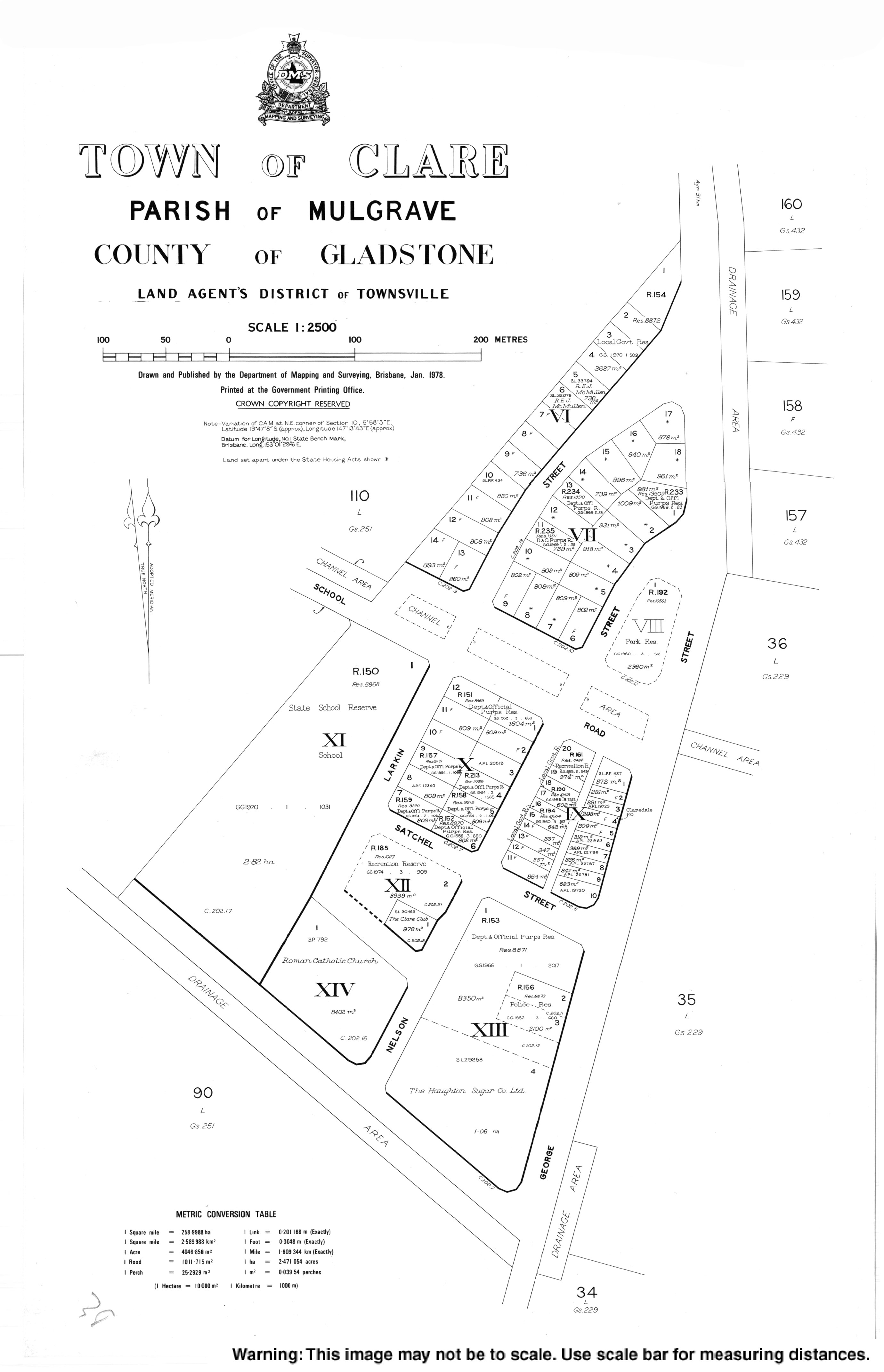
- Town map of Clare, 1978