
Corfield, Queensland
| Corfield Queensland | |||||||||||||||
|---|---|---|---|---|---|---|---|---|---|---|---|---|---|---|---|
 The historic Corfield Pub. A sign promoting the Corfield Cup can also be seen. | |||||||||||||||
 Corfield | |||||||||||||||
| Coordinates | 21°42′47″S 143°22′30″E / 21.7130°S 143.375°E | ||||||||||||||
| Population | 183 (2016 census)[1] | ||||||||||||||
| Postcode(s) | 4733 | ||||||||||||||
| Location |
| ||||||||||||||
| LGA(s) | Shire of Winton | ||||||||||||||
| State electorate(s) | Gregory | ||||||||||||||
| Federal division(s) | Maranoa | ||||||||||||||
| |||||||||||||||
Corfield is a town and locality in the Shire of Winton in north-western Queensland, Australia.[2][3] In the 2016 census, Corfield had a population of 183 people.[1]
Geography[edit]
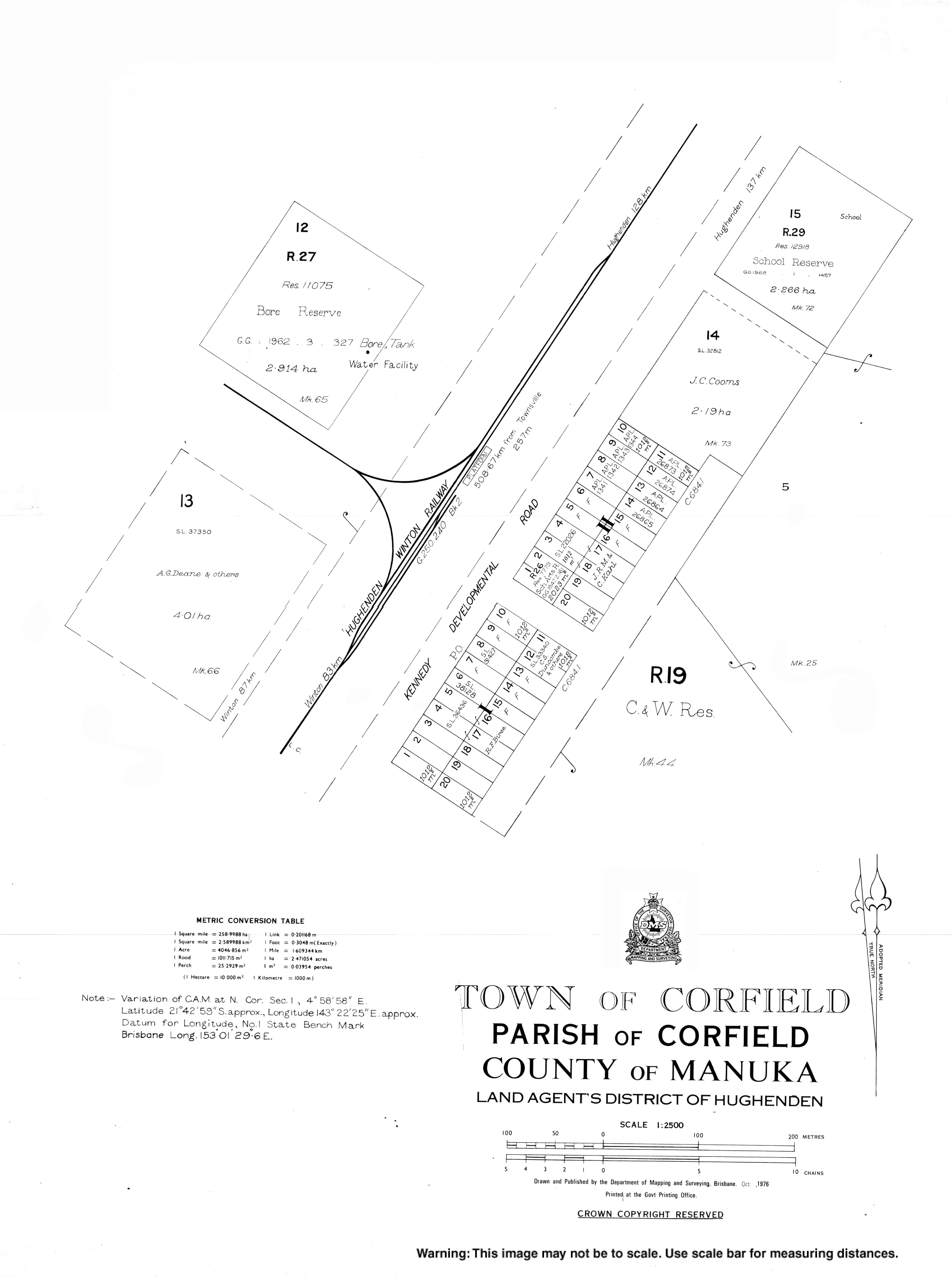
The town is on the Kennedy Developmental Road—the road linking Winton and Hughenden—1,438 kilometres (894 mi) north west of the state capital Brisbane and 513 kilometres (319 mi) south west of the regional centre of Townsville. The Landsborough Highway also passes through the locality (but not through the town) merging with the Kennedy Developmental Road just before crossing into Winton. The Central Western railway line passes through the south of the locality to its terminus at Winton railway station.[4] The Richmond–Winton Road follows a section of the north-western boundary. [5]
The principal land use is cattle grazing.[4]
As the boundaries of Winton hug the grid layout of its streets, a number of Winton's facilities are actually located in Corfield. These include the Winton Golf Course and the Winton Showground and Racecourse. As Winton uses bore water from the Great Artesian Basin, this water emerges at 83 to 86 °C (181 to 187 °F) and is cooled in ponds in Corfield to 44 °C (111 °F) before it is circulated through Winton.[6]
History[edit]
Jirandali (also known as Yirandali, Warungu, Yirandhali) is an Australian Aboriginal language of North-West Queensland, particularly the Hughenden area. The language region includes the local government area of the Shire of Flinders, including Dutton River, Flinders River, Mount Sturgeon, Caledonia, Richmond, Corfield, Winton, Torrens, Tower Hill, Landsborough Creek, Lammermoor Station, Hughenden, and Tangorin.[7]
In its earlier incarnation as a Cobb & Co changing station along the Hughenden to Winton mail route, the locality was named Manuka—after a nearby sheep station.[8]
When the railway linking Hughenden and Winton was built in 1899, the town was moved 1 kilometre (0.62 mi) west to the line and renamed Corfield after William Henry Corfield—a local carrier and businessman, who, as Member of the Queensland Legislative Assembly for Gregory 1888-99 lobbied for the rail link.[8][2] The population of the town peaked at around thirty to forty residents and facilities included "five railway houses, plus the station master’s house, a post office, two petrol depots, a hotel and a school and teacher’s house ... a goods shed and railway building."[8]
Corfield Post Office opened on 5 October 1898 and closed in 1991.[9]
Corfield State School opened on 4 February 1957 and closed on 31 January 1975. It reopened on 27 January 1976 but closed again on 15 December 1989.[10]
At the 2006 census, Corfield and the surrounding area had a population of 162.[11]
At the 2011 census, Corfield and the surrounding area had a population of 380.[12]
In the 2016 census, the locality of Corfield had a population of 183 people.[1]
Facilities[edit]
Corfield has since declined and now has a permanent village population of seven.[13] The Corfield Pub is the main community facility in the village.[13]
The nearest primary and secondary schools are in Winton.[4]
Events[edit]
The major social event in Corfield is the Corfield Cup horse race run in early August—a pun on the better known Caulfield Cup horse race run in Melbourne.[13]
References[edit]
- ^ a b c Australian Bureau of Statistics (27 June 2017). "Corfield (SSC)". 2016 Census QuickStats. Retrieved 20 October 2018.
- ^ a b "Corfield – town (entry 8455)". Queensland Place Names. Queensland Government. Retrieved 6 October 2015.
- ^ "Corfield – locality (entry 49357)". Queensland Place Names. Queensland Government. Retrieved 6 October 2015.
- ^ a b c "Queensland Globe". State of Queensland. Retrieved 11 December 2018.
- ^ Corfield, Queensland (Map). OpenStreetMap. Retrieved 13 April 2022.
- ^ "Artesian Bore Water". Experience Winton. Archived from the original on 12 December 2018. Retrieved 12 December 2018.
- ^
 This Wikipedia article incorporates CC-BY-4.0 licensed text from: "Guugu Yimithirr". Queensland Aboriginal and Torres Strait Islander languages map. State Library of Queensland. Retrieved 28 January 2020.
- ^ a b c "Corfield". Experience Winton. Winton Shire Council. Retrieved 22 April 2012.
- ^ Premier Postal History. "Post Office List". Premier Postal Auctions. Retrieved 10 May 2014.
- ^ "Opening and closing dates of Queensland Schools". Queensland Government. Retrieved 5 October 2015.
- ^ Australian Bureau of Statistics (25 October 2007). "Corfield (Winton Shire) (State Suburb)". 2006 Census QuickStats. Retrieved 22 April 2012.
- ^ Australian Bureau of Statistics (31 October 2012). "Corfield (Winton Shire) (State Suburb)". 2011 Census QuickStats. Retrieved 6 October 2015.
- ^ a b c "Corfield". Queensland Holidays. Tourism Queensland. Retrieved 22 April 2012.