
File:AK Taku River B-5 359498 1951 63360 geo.pdf

Size of this JPG preview of this PDF file: 501 × 599 pixels. Other resolutions: 201 × 240 pixels | 401 × 480 pixels | 642 × 768 pixels | 856 × 1,024 pixels | 1,713 × 2,048 pixels | 2,716 × 3,247 pixels.
Original file (2,716 × 3,247 pixels, file size: 8.1 MB, MIME type: application/pdf)
| This is a file from the Wikimedia Commons. Information from its description page there is shown below. Commons is a freely licensed media file repository. You can help. |
Summary
| Description |
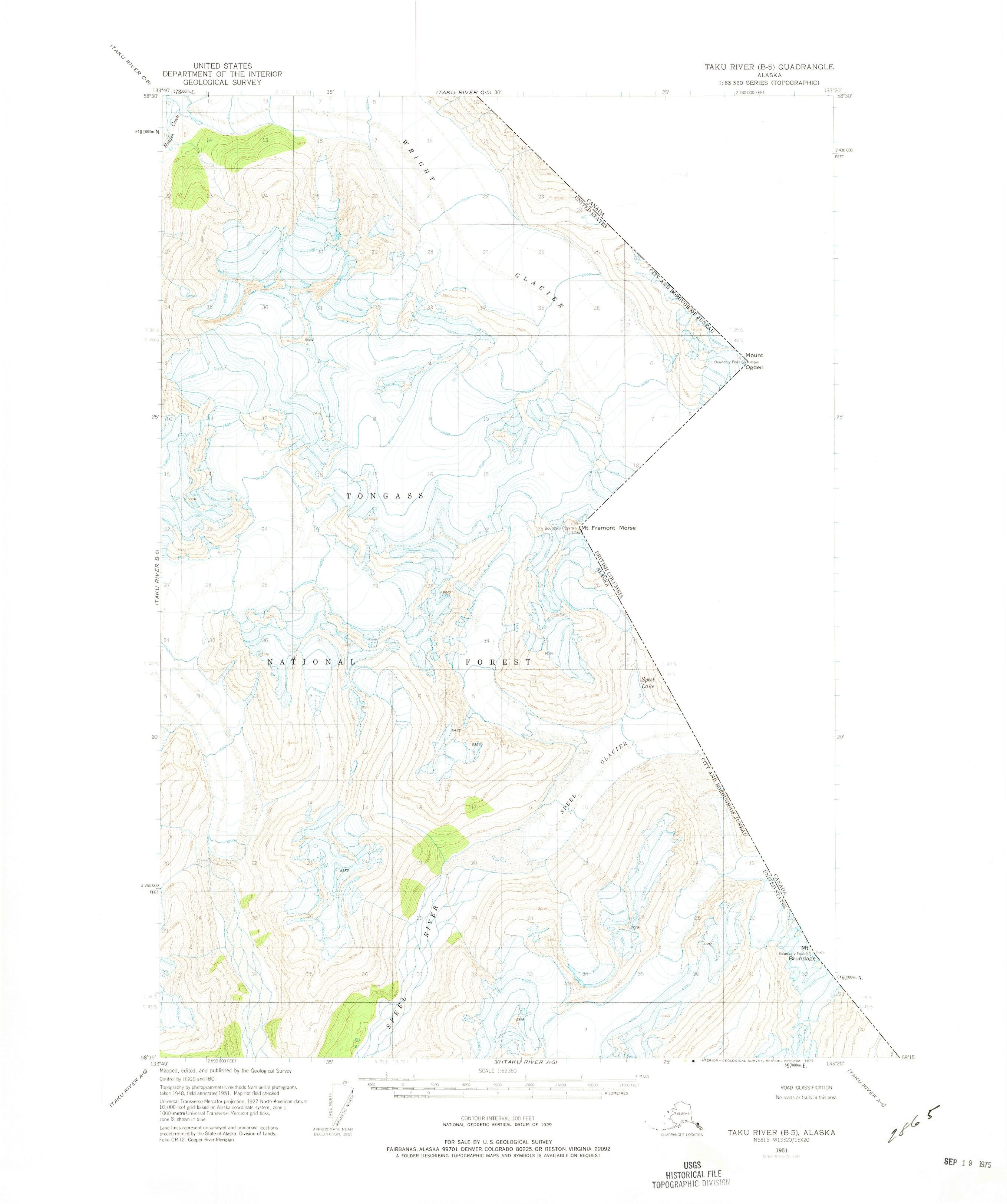
English: Taku River B-5 (1951) |
| Source | Source: PDF file from Juneau, Skagway, Atlin and Taku River Quadrangles, see http://ngmdb.usgs.gov/maps/TopoView/ |
| Author | USGS |
Licensing
This image is in the public domain in the United States because it only contains materials that originally came from the United States Geological Survey, an agency of the United States Department of the Interior. For more information, see the official USGS copyright policy.
|
Original upload log
The original description page was here. All following user names refer to en.wikipedia.
| Date/Time | Dimensions | User | Comment |
|---|---|---|---|
| 2015-01-11 15:04 | 2717×3249× (8495017 bytes) | Kirkjamesmiller | USGS |
File history
Click on a date/time to view the file as it appeared at that time.
| Date/Time | Thumbnail | Dimensions | User | Comment | |
|---|---|---|---|---|---|
| current | 23:05, 24 April 2016 |  | 2,716 × 3,247 (8.1 MB) | FastilyClone | Transferred from enwp |
File usage
The following pages on the English Wikipedia use this file (pages on other projects are not listed):