
File:BlankMap-World-90W.svg

Size of this PNG preview of this SVG file: 800 × 405 pixels. Other resolutions: 320 × 162 pixels | 640 × 324 pixels | 1,024 × 519 pixels | 1,280 × 649 pixels | 2,560 × 1,297 pixels | 3,128 × 1,585 pixels.
Original file (SVG file, nominally 3,128 × 1,585 pixels, file size: 1.34 MB)
| This is a file from the Wikimedia Commons. Information from its description page there is shown below. Commons is a freely licensed media file repository. You can help. |
Summary
| Description |
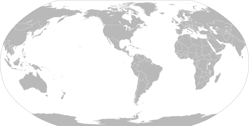
English: A political map of the world centered at the 90W longitude line.
Detailed SVG map with grouping enabled to connect all non-contiguous parts of a country's territory for easy colouring. Smaller countries can also be represented by larger circles to show their data easier. A thorough description of use and other instructions relating to can be found on the instruction page |
||
| Date | |||
| Source | Based on File:BlankMap-World.svg and rotated using the pythonscript available at [1] | ||
| Author | Lokal_Profil | ||
| Permission (Reusing this file) |
The map data manipulated by the script is in the public domain. The raw output of the script, including the file shown here, is also in the public domain.
|
||
| Other versions |
Derivative works of this file:
|
||
| SVG development |


_(90W).svg)
File history
Click on a date/time to view the file as it appeared at that time.
| Date/Time | Thumbnail | Dimensions | User | Comment | |
|---|---|---|---|---|---|
| current | 20:12, 6 September 2021 | | 3,128 × 1,585 (1.34 MB) | Milenioscuro | cropped |
| 18:14, 7 March 2019 |  | 940 × 477 (3.48 MB) | Goran tek-en | Updating Montenegro and/or South Sudan as requested by {{u|Maphobbyist}}. | |
| 00:06, 7 September 2012 |  | 940 × 477 (3.45 MB) | Lokal Profil | {{Information |Description=A blank map of the world centered at the 90W longitude line. Detailed SVG map with grouping enabled to connect all non-contiguous parts of a country's territory for easy colouring. Smaller countries can also be represented... |
File usage
The following pages on the English Wikipedia use this file (pages on other projects are not listed):
Global file usage
The following other wikis use this file: