
File:View over Horowhenua from Tararua Forest Park.jpg

Size of this preview: 800 × 600 pixels. Other resolutions: 320 × 240 pixels | 640 × 480 pixels | 1,024 × 768 pixels.
Original file (1,024 × 768 pixels, file size: 298 KB, MIME type: image/jpeg)
| This is a file from the Wikimedia Commons. Information from its description page there is shown below. Commons is a freely licensed media file repository. You can help. |
Summary
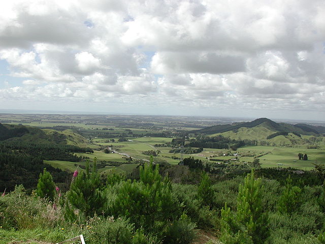
| Description | Horowhenua district viewed from Tararua Forest Park. |
| Date | |
| Source | Own work |
| Author | Pseudopanax at en.wikipedia |
| Camera location | | View this and other nearby images on: OpenStreetMap |
|---|
Licensing
| I, the copyright holder of this work, release this work into the public domain. This applies worldwide. In some countries this may not be legally possible; if so: I grant anyone the right to use this work for any purpose, without any conditions, unless such conditions are required by law. |
File history
Click on a date/time to view the file as it appeared at that time.
| Date/Time | Thumbnail | Dimensions | User | Comment | |
|---|---|---|---|---|---|
| current | 22:16, 3 December 2007 | | 1,024 × 768 (298 KB) | Pseudopanax | {{Information |Description=Horowhenua district viewed from Tararua Forest Park. |Source=self-made |Date=2006-12-30 |Author=Pseudopanax at [http://en.wikipedia.org en.wikipedia] }} {{location|40|43|54|S|175|14|41|E}} [[Category:Re |
File usage
The following pages on the English Wikipedia use this file (pages on other projects are not listed):
Global file usage
The following other wikis use this file:
- Usage on ceb.wikipedia.org
- Usage on he.wikipedia.org
- Usage on nn.wikipedia.org
- Usage on www.wikidata.org