Fjortende Julibreen
Appearance
| Fjortende Julibreen | |
|---|---|
 Kittywakes at Fjortende Julibreen, Krossfjord, Svalbard | |
| Type | Glacier |
| Location | Haakon VII Land Spitsbergen, Svalbard |
| Coordinates | 79°07′24″N 12°09′22″E / 79.1233°N 12.1561°E |
| Area | 127 km2 |
| Length | 16 km |
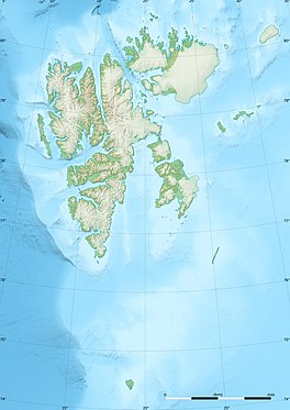
Fjortende Julibreen is a glacier in Haakon VII Land at Spitsbergen, Svalbard. It has a length of about sixteen kilometers, and a total area of about 127 km2. It is located between Reppingen, Løvlandfjellet and Mercantonfjellet to the south, and Casimir-Périerkammen, Forelryggen and Foreltinden to the north, and extends down to Fjortende Julibukta in Krossfjorden. The glacier is named after the National Day of France, the 14 July.[1][2]
References
[edit]- ^ "Fjortende Julibreen (Svalbard)". Norwegian Polar Institute. Retrieved 3 November 2013.
- ^ Lauritzen, Per Roger, ed. (2009). "Fjortende Julibreen". Norsk Fjelleksikon (in Norwegian). Arendal: Friluftsforlaget. ISBN 978-82-91495-47-7.

