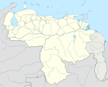
General Bartolomé Salom Airport
General Bartolomé Salom Airport | |||||||||||
|---|---|---|---|---|---|---|---|---|---|---|---|
| Summary | |||||||||||
| Airport type | Public | ||||||||||
| Serves | Puerto Cabello | ||||||||||
| Elevation AMSL | 32 ft / 10 m | ||||||||||
| Coordinates | 10°28′45″N 68°04′20″W / 10.47917°N 68.07222°W | ||||||||||
| Map | |||||||||||
| Runways | |||||||||||
| |||||||||||
Sources: GCM[1] | |||||||||||
General Bartolomé Salom Airport (IATA: PBL, ICAO: SVPC) is an airport serving Puerto Cabello, a city in the Carabobo state of Venezuela. The airport is 6 kilometres (3.7 mi) west of the city.
Airlines and destinations[edit]
| Airlines | Destinations |
|---|---|
| Albatros Airlines | Caracas |
See also[edit]
References[edit]
- ^ Airport information for PBL at Great Circle Mapper.
External links[edit]

