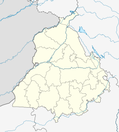
Goraya railway station
Goraya | |||||||||||
|---|---|---|---|---|---|---|---|---|---|---|---|
| Indian Railways | |||||||||||
| General information | |||||||||||
| Location | National Highway 44, Dilbag Colony, Goraya, Jalandhar district, Punjab India | ||||||||||
| Coordinates | 31°07′47″N 75°46′27″E / 31.129722°N 75.774193°E | ||||||||||
| Elevation | 245 metres (804 ft) | ||||||||||
| Owned by | Indian Railways | ||||||||||
| Operated by | Northern Railway | ||||||||||
| Line(s) | Ambala–Attari line | ||||||||||
| Platforms | 2 | ||||||||||
| Tracks | 5 ft 6 in (1,676 mm) broad gauge | ||||||||||
| Construction | |||||||||||
| Structure type | Standard on ground | ||||||||||
| Other information | |||||||||||
| Status | Functioning | ||||||||||
| Station code | GRY | ||||||||||
| Division(s) | Firozpur | ||||||||||
| History | |||||||||||
| Opened | 1870 | ||||||||||
| Electrified | Yes | ||||||||||
| Services | |||||||||||
| |||||||||||
| |||||||||||
Goraya railway station a railway station on Ambala–Attari line under Firozpur railway division of Northern Railway zone. This is situated beside National Highway 44, Dilbag Colony at Goraya in Jalandhar district in the Indian state of Punjab.[1][2]
History[edit]
Amritsar–Attari line was completed in 1862.[3] the electrification of the line was completed in different period. Shahbad Markanda-Mandi Gobindgarh sector was electrified in 1995–96, the Mandi Gobindgarh–Ludhiana sector in 1996–97, the Phillaur–Phagwara sector in 2002–03, and the Phagwara–Jallandhar City–Amritsar in 2003–04.[4]
References[edit]
- ^ Joshi, Yash. "Goraya Railway Station Map/Atlas NR/Northern Zone - Railway Enquiry". indiarailinfo.com. Retrieved 2021-05-21.
- ^ TTI. "GRY / Goraya Railway Station | Train Arrival / Departure Timings at Goraya". www.totaltraininfo.com. Retrieved 2021-05-21.
- ^ "Scinde, Punjaub & Delhi Railway - FIBIwiki". wiki.fibis.org. Retrieved 2021-05-21.
- ^ "[IRFCA] Electrification History from CORE". irfca.org. Retrieved 2021-05-21.


