
Iglène
Iglène | |
|---|---|
Village | |
 Iglène | |
| Coordinates: 22°54′6″N 4°53′53″E / 22.90167°N 4.89806°E | |
| Country | |
| Province | Tamanrasset Province |
| District | Abalessa District |
| Commune | Abalessa[1] |
| Elevation | 909 m (2,982 ft) |
| Time zone | UTC+1 (CET) |
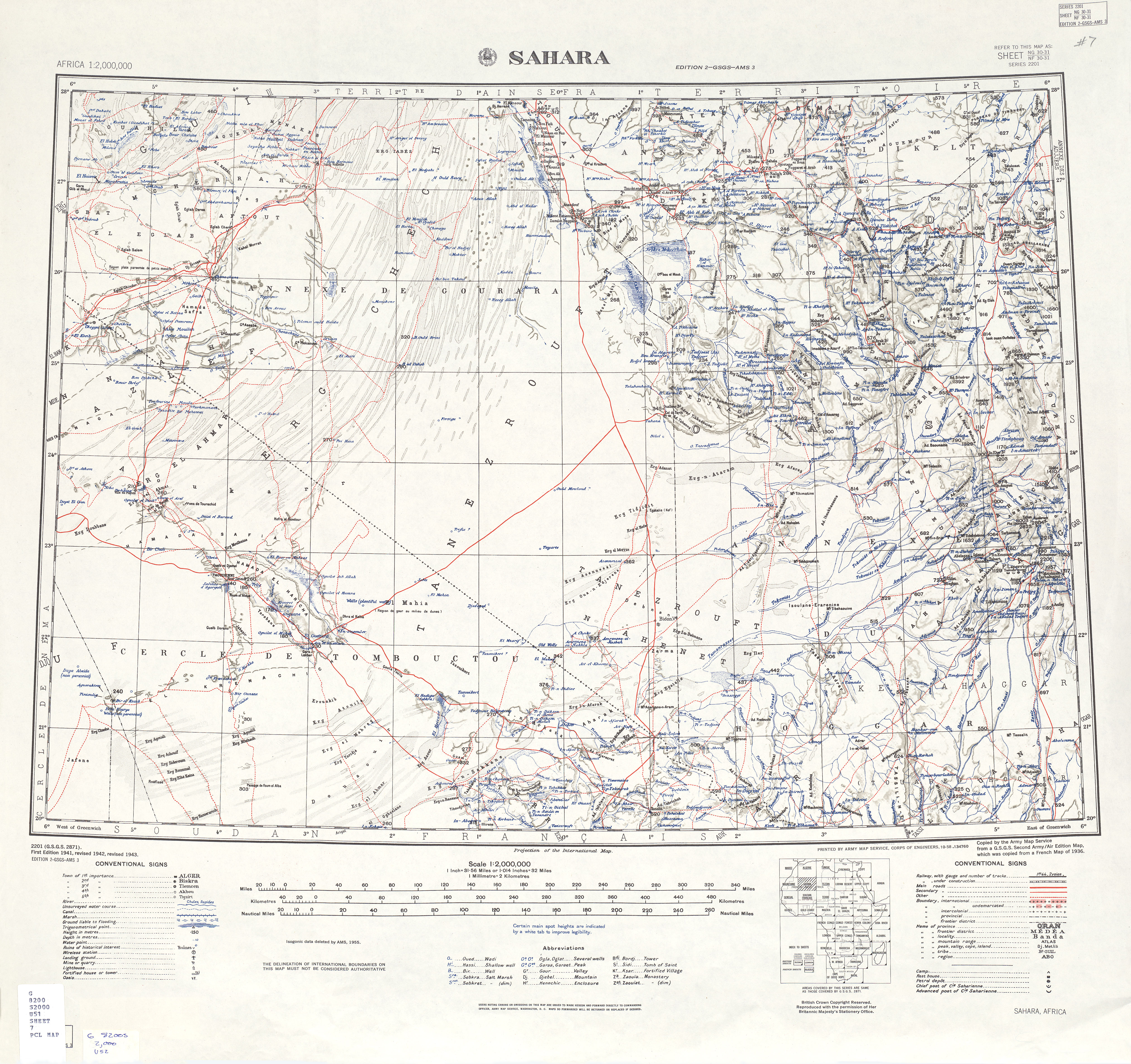
Iglène is a village in the commune of Abalessa,[1] in Tamanrasset Province, Algeria. It lies on the north bank of Oued Abalessa, and is connected to the N55A national highway by a local road to the west, near the town of Abalessa.[2]
References[edit]
- ^ a b "Décret n° 84-365, fixant la composition, la consistance et les limites territoriale des communes. Wilaya d'El Oued" (PDF) (in French). Journal officiel de la République Algérienne. 19 December 1984. p. 1496. Archived from the original (PDF) on 5 May 2015. Retrieved 6 June 2013.
- ^ "U.S. Army Map Service: Sahara". University of Texas Libraries. Retrieved 13 June 2013.
Neighbouring towns and cities
Places adjacent to Iglène | |
|---|---|
| Tamanrasset District | .svg) | |||||
|---|---|---|---|---|---|---|
| In Salah District | ||||||
| Tazrouk District | ||||||
| Abalessa District | ||||||
| In Ghar District | ||||||
| Tin Zaouatine District | ||||||
| In Guezzam District | ||||||
This article about a location in Tamanrasset Province is a stub. You can help Wikipedia by expanding it. |