Lima Mountain
Appearance
| Lima Mountain | |
|---|---|
| Highest point | |
| Elevation | 2,238 ft (682 m) |
| Coordinates | 47°59′12.8394″N 90°24′12.9594″W / 47.986899833°N 90.403599833°W |
| Geography | |
| Location | Cook County, Minnesota, U.S. |
| Parent range | Misquah Hills |
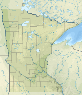
Lima Mountain is a 2238-foot summit in Cook County, Minnesota. It is located in the Lima Mountain Unit, a 2540-acre inventoried roadless area adjacent to the Boundary Waters Canoe Area.[1] There is a 1-mile trail to the summit, where a fire tower once stood.[2] Lima Mountain has a 328-foot rise over the saddle connecting it with the Misquah Hills High Point and Peak 2266.[3] A trail to the summit begins along the Lima Grade (Forest Route 315) just north of its junction with Lima Mountain Road (Forest Route 152)
References
[edit]- ^ Preserving the Canoe Country Heritage Archived 2012-04-25 at the Wayback Machine, Friends of the Boundary Waters Wilderness. p. 35 Retrieved May 31, 2012.
- ^ North Shore Visitor, Fall Colors, accessed May 31, 2012.
- ^ Mn Peak Stats, Lima Mountain, Accessed May 31, 2012.

