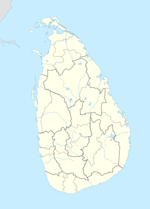
Ratnapura Portuguese fort
| Ratnapura Portuguese fort | |
|---|---|
| Ratnapura, Sri Lanka | |
| Coordinates | 6°41′27″N 80°22′46″E / 6.690866°N 80.379547°E |
| Type | Defence fort |
| Site information | |
| Condition | Destroyed[1] |
| Site history | |
| Built | 1618–1620 |
| Built by | Portuguese |
Ratnapura Portuguese fort (Sinhala: රත්නපුර පෘතුගීසි බලකොටුව Rathnapura Pruthugisi Balakotuwa; Tamil: இரத்தினபுரி போர்த்துக்கேயக் கோட்டை, romanized: Irattiṉapuri Pōrttukkēyak Kōṭṭai) was built by the Portuguese[2] in Ratnapura, Sri Lanka.
The Portuguese constructed the fort and a church, between 1618 and 1620, on the ground of Saman Devalaya (an ancient devale or Hindu shrine) following the defeat of the King of Sitawaka, Rajasinha I. The town and the fort was later captured by Kirti Sri Raja Singha (the second Nayaka king of Kandy,[3] who destroyed the church and the fort and constructed a Buddhist temple, Maha Saman Devalaya, on the site. In the temple grounds there is a stone sculpture, which depicts the Portuguese General Simao Pinnao, on horseback brandishing a sword, whilst trampling a Sinhalese soldier.[4]
See also[edit]
References[edit]
- ^ "Colonial Forts – relics of old time warfare". Ceylon Today. 6 September 2013. Archived from the original on 23 September 2015. Retrieved 17 November 2014.
- ^ "Ratnapura". Encyclopædia Britannica. Retrieved 17 November 2014.
- ^ "Ratnapura Portuguese Fort". AmazingLanka.com. Retrieved 17 November 2014.
- ^ "Maha Saman Devala, Kuruvita Korale, Devalegama". Living Heritage Trust. Retrieved 24 November 2014.


