
Talk:Al-Qa'im (town)
| This article is rated Start-class on Wikipedia's content assessment scale. It is of interest to the following WikiProjects: | |||||||||||
| |||||||||||

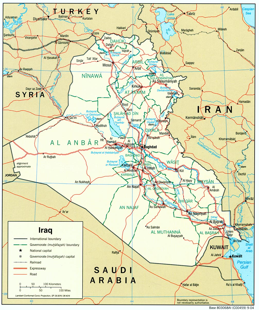
Map[edit]
The town is exactly on the boarder with Syria, which is much closer than the image makes the town appear. (Atfyfe 23:50, 22 June 2006 (UTC))
- Not quite. If you look at e.g. http://www.lib.utexas.edu/maps/middle_east_and_asia/iraq_pol_2004.jpg , you'll see that the town is actually a little distance from the border - I'd estimate 20-25 km or so. -- ChrisO 23:54, 22 June 2006 (UTC)
- I'm sorry, you are correct. According to a couple of sites: Qusaybah, Qaim and Sada are all three seperate cities but seemlessly run into one another. Qusaybah is right on the boarder, Qaim is just to the east of Qusaybah, and Sada is just to the west of Qaim. I had the order mixed up in my head. Here is a good pic showing how interconnected the cities are, and how close to the boarder they are: http://billroggio.com/images/maps/Qaim_Husaybah.php (Atfyfe 00:22, 23 June 2006 (UTC))
- As I recall, "Al-Qa'im" refers to the entire metropolitan area (so to speak) that is made up of all the towns from the Syrian border east to Ubaydi. From west to east: Husaybah, Karabilah, and Sa'dah. Husaybah is located at the intersection of the border and the Euphrates River, with the other towns extending down the river to the east along Highway 12. 63.160.173.6 18:10, 3 September 2006 (UTC)