
Tohamsan
| Tohamsan | |
|---|---|
 The mountain in 2007 | |
| Geography | |
 Tohamsan | |
| Korean name | |
| Hangul | 토함산 |
| Hanja | |
| Revised Romanization | Tohamsan |
| McCune–Reischauer | T'ohamsan |
Tohamsan (Korean: 토함산; lit. Toham Mountain) is a mountain with a height of 745 m (2,444 ft) in Gyeongju City in southeastern South Korea. It is part of the minor Dongdae Mountains range. The mountain lies within Gyeongju National Park and is the site of a large number of historic relics. The Silla-era Buddhist shrines of Bulguksa and Seokguram are on its slopes. The mountain stands at the intersection of three subdivisions of Gyeongju: Bulguk-dong, Bodeok-dong, and Yangbuk-myeon. The Sea of Japan can be seen from the peak, as can Gyeongju Basin, which includes the city center.[1]
During the Silla period, Toham mountain was referred to as Dongak (東嶽), literally meaning "East Big Mountain", and considered a guardian mountain of the country, so that major rituals were held.[1]
Gallery
[edit]-
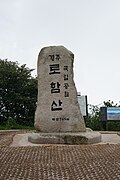 Marker at peak of the mountain (2018)
 -
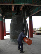 Ringing a bell on the mountain (2010)
 -
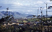 A village next to the mountain (1952)

_002.jpg)

See also
[edit]References
[edit]- ^ a b (in Korean) 토함산 吐含山 (Tohamsan) Archived 2011-06-10 at the Wayback Machine Nate / Encyclopedia of Korean Culture
External links
[edit]- (in Korean) 근교산 & 그너머 <365> 경주 토함산 at Kookje Sinmun
35°45′24″N 129°22′25″E / 35.75667°N 129.37361°E
This South Korea location article is a stub. You can help Wikipedia by expanding it. |