
User:DutchTreat/Projects/Maps/newtown-creek-brooklyn
Option: A[edit]
- NYC Newtown Creek bridges add a map showing the bridges : Vernon Avenue Bridge (unknown), Pulaski Bridge 40°44′21″N 73°57′09″W / 40.739167°N 73.9525°W, Greenpoint Avenue Bridge 40°44′00″N 73°56′25″W / 40.7333°N 73.9404°W and Meeker Avenue Bridge (unknown)
| Coords | Wikidata QID |
|---|---|
 Bridges crossing Newtown Creek (with coord) |
 Bridges crossing Newtown Creek (with WD QID) |
Option: B[edit]
|
|
_aerial_03_(9454384501).jpg)
_aerial_07_(9454428733).jpg)
Option: C[edit]
I would like to add the map Map of Newtown Creek and vicinity at the New York Public Library (1896) in to a new History section. Need guidance on how to label the following crossings. I would prefer to use the names appropriate from the timeframe of the map.
 1 2 3 4 5 6 7 | |||||||||||||||||
| |||||||||||||||||
OPtion D[edit]
- Basemap
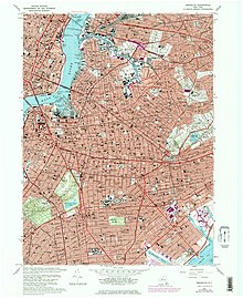
Brooklyn (1967), from USGS Historical Topographic Map Collection
