
User:Nafsadh/Gallery
6dgfud7gifydkbkfudyuf
Image contributions by Nafsadh[edit]
Highlights
Following maps and illustrations (mostly SVG) are either originally created or enhanced by me or derived from my work. All images are either CC0 or PD; if you notice it has any other license, please notify me so that I can update the license.
-

-
-
 Musical notes of the national anthem
 -
 Construction guide for National flag of Bangladesh
 -
 Upazilas of Tangail District
 -
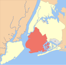
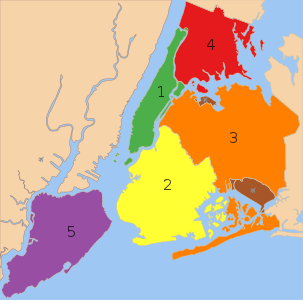 New York City - labelled Boroughs


Galleries
Collaboration[edit]
Following works are outcome of community collaborations where I participated
Maps and illustrations[edit]
-

-
 Mughal Empire c. 1700
 -
 Genealogy of Mughal emperors
 -
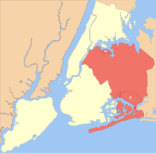
 The 5 Boroughs of New York City


Bangladesh[edit]
Maps of Bangladesh[edit]
-
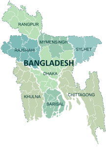
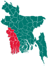
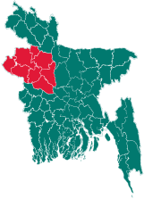
 Administrative regions of Bangladesh
 -

-

-
-

-
-
-


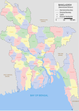
Location maps[edit]
Locations in Bangladesh[edit]


Districts of Bangladesh[edit]
Some of these are kindly done by Furfur.
-
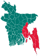
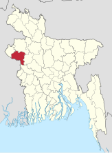
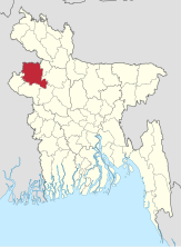
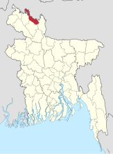
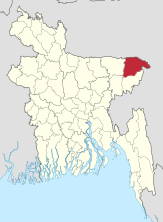
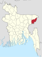
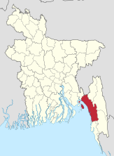
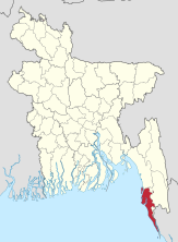
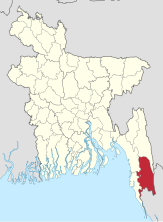
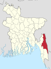
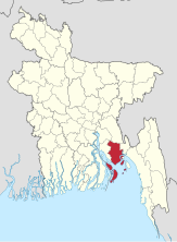
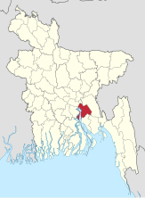
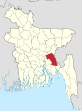
 Seed for district locator maps
 -
-
-

-
-

-
-

-

-

-

-

-
-

-

-

-

-

-

-

-
-
-

-
-

-

-

-

-

-

-

-

-
-

-

-
-
-

-
-
-
-
-

-

-
-

-
-
-

-

-

-

-
-

-

-
-

-

-
-

-
-

-

-

-


Derived maps of various places[edit]
-
 New York City - labelled Boroughs
 -

-
-
-

-


_-_SDN_-_UNOCHA.svg)
_-_EGY_-_UNOCHA.svg)
_-_LKA_-_UNOCHA.svg)
_-_AND_-_UNOCHA.svg)


