
User:Necrothesp/Resources/1600s Resources
< User:Necrothesp | Resources
International[edit]
- Maps
- Political map of Portuguese and Spanish possessions in India, Ceylon and Southeast Asia, 1498–1650
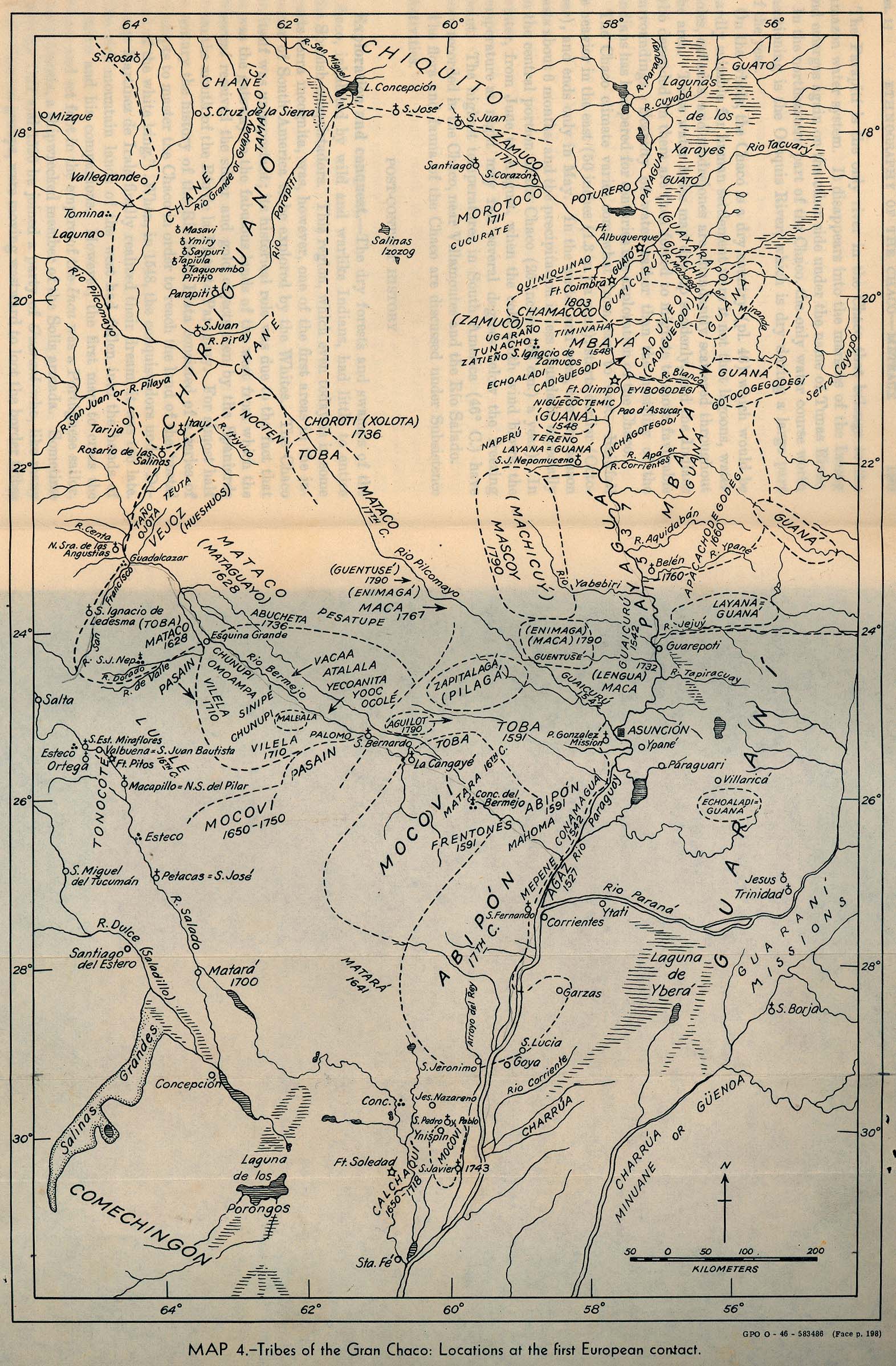
- Map of locations of the Gran Chaco tribes, South America, at first European contact
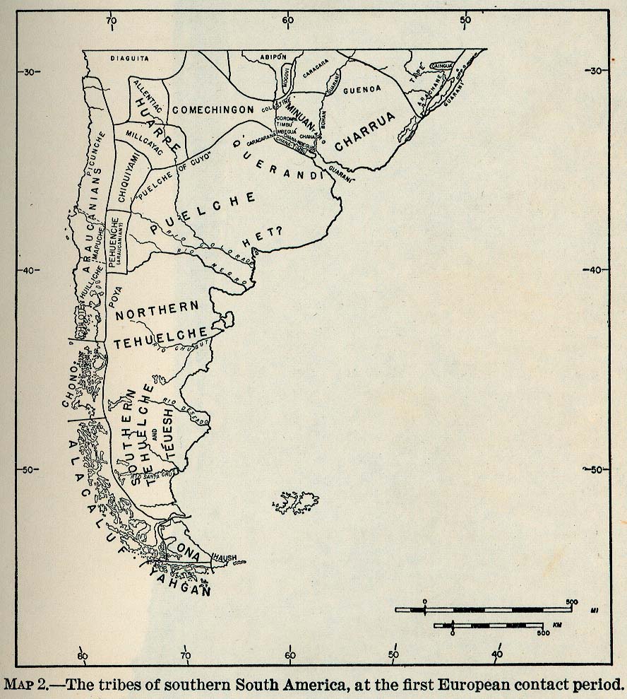
- Map of tribes of Southern South America at first European contact
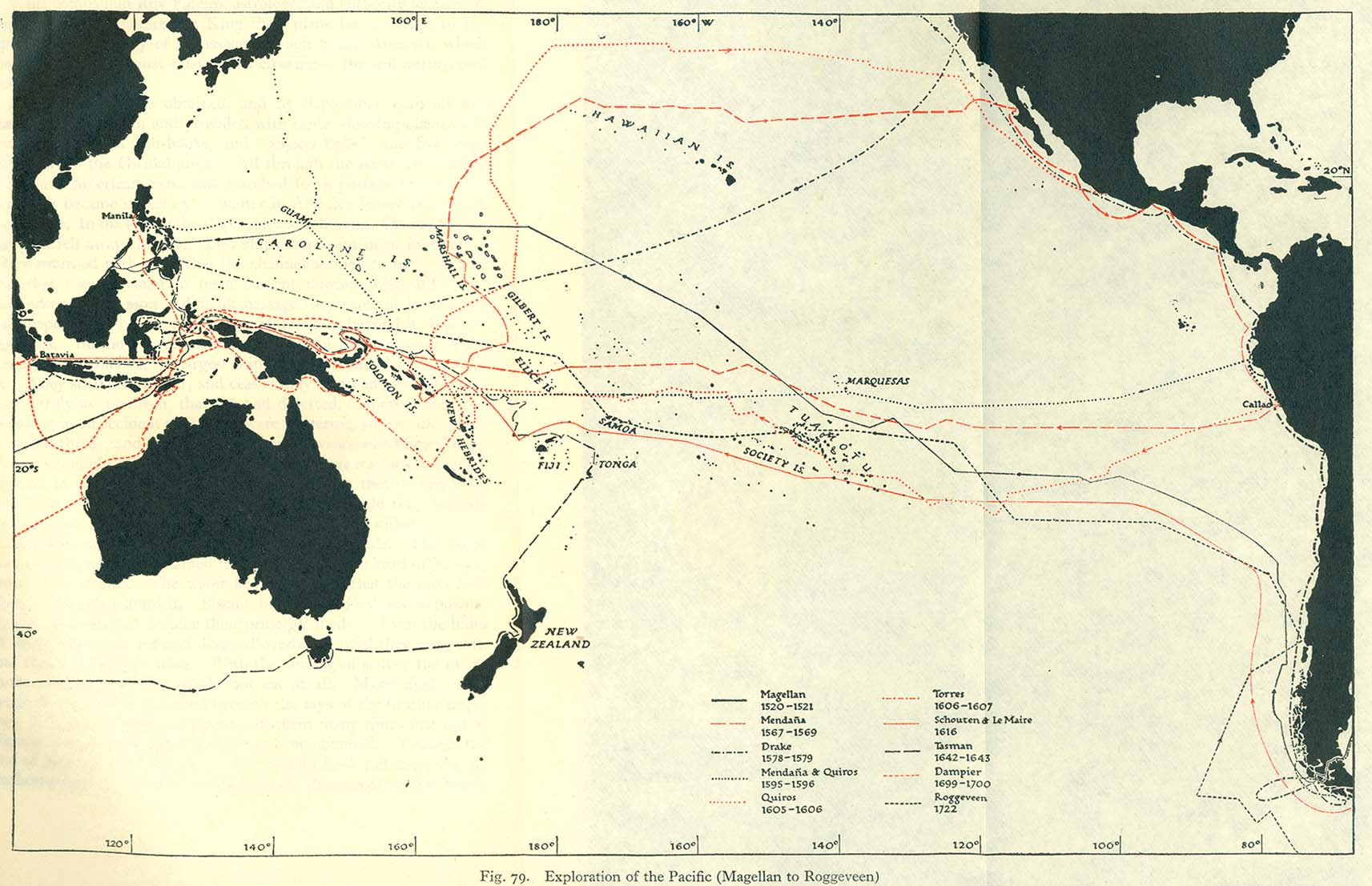
- Map of explorations of the Pacific, 1520–1722
- Map of European voyages of exploration to North America, 1562–1794
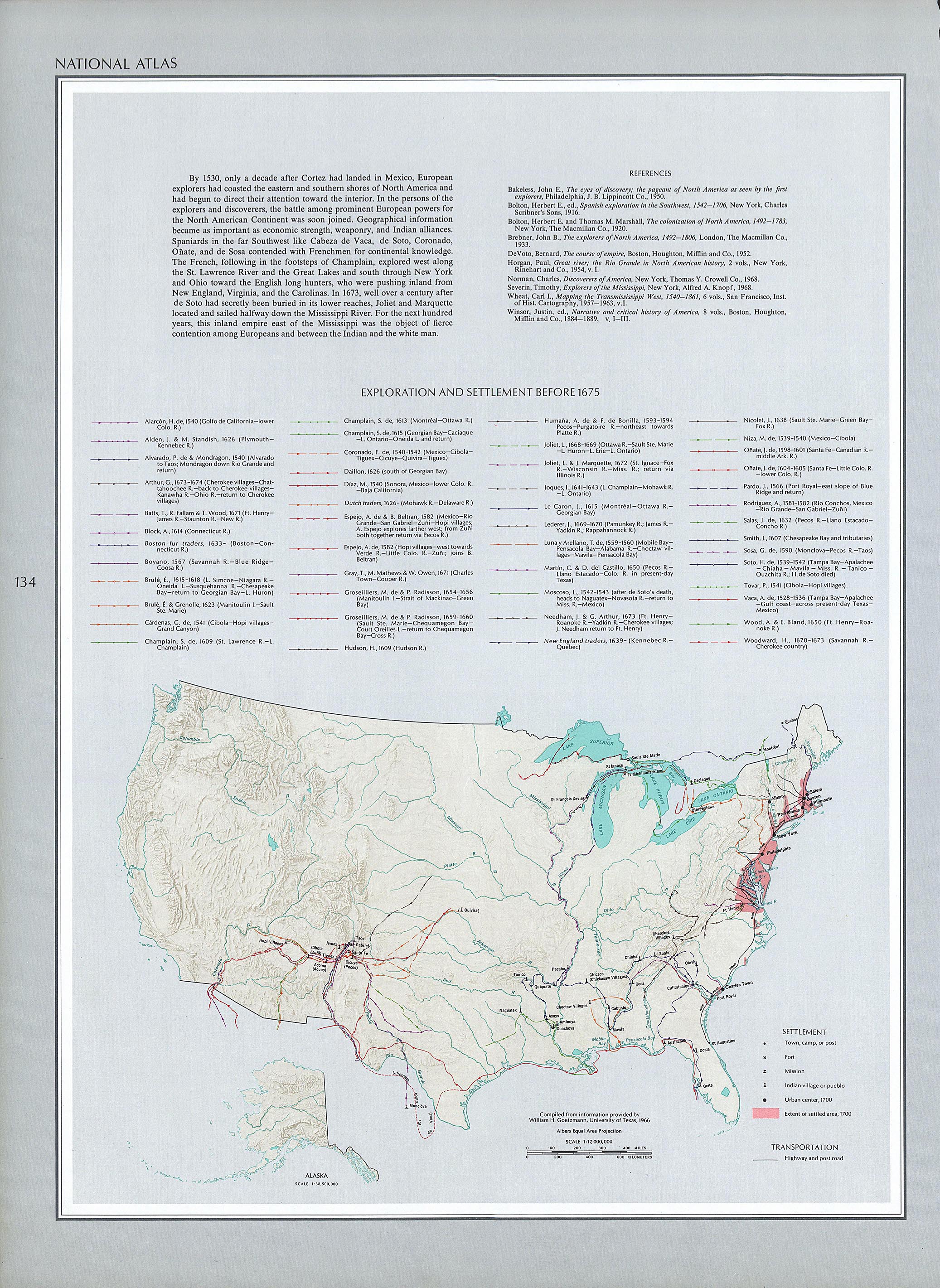
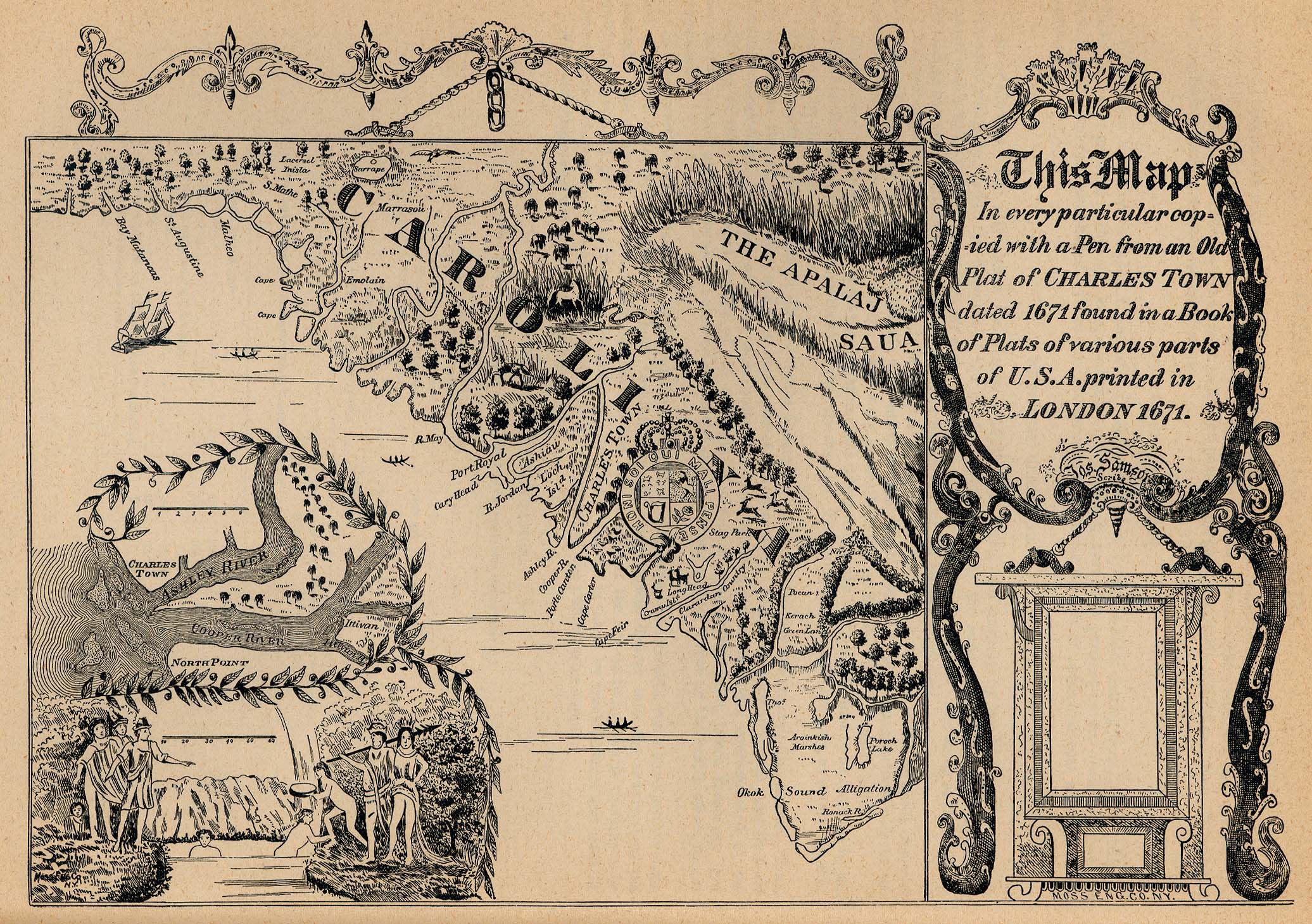
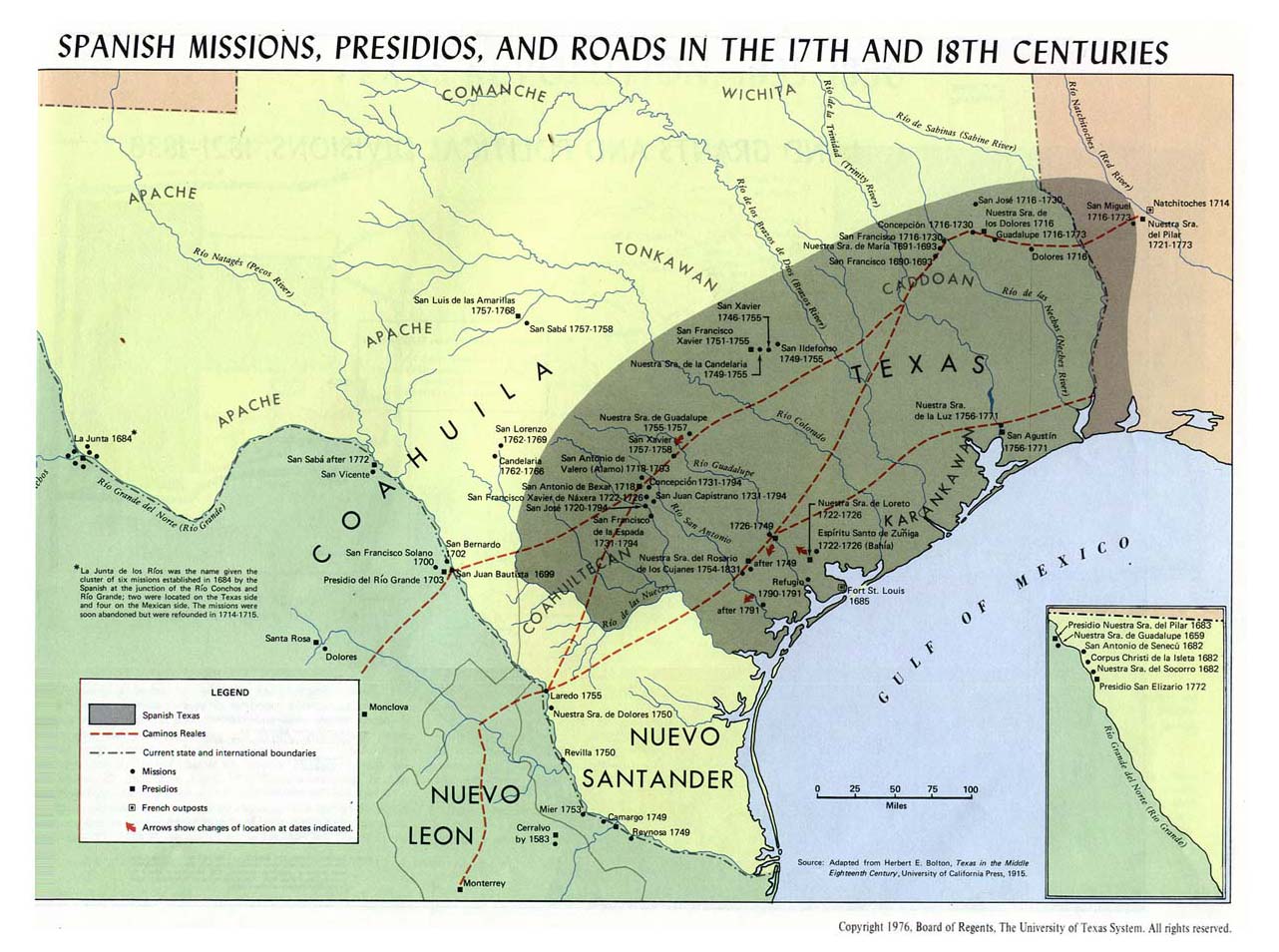
- Map of European settlement of the future United States, 1530–1675
- Map of European settlement of the future United States, 1675–1800
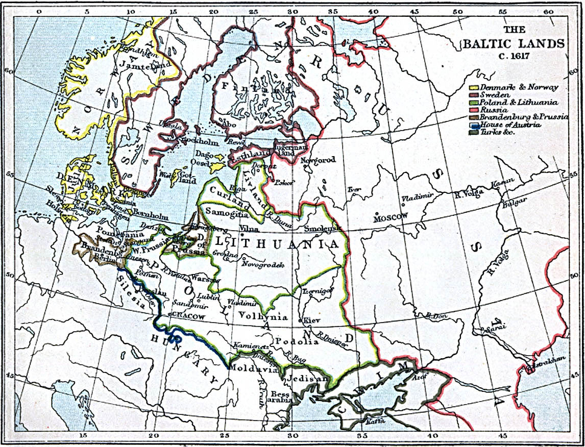
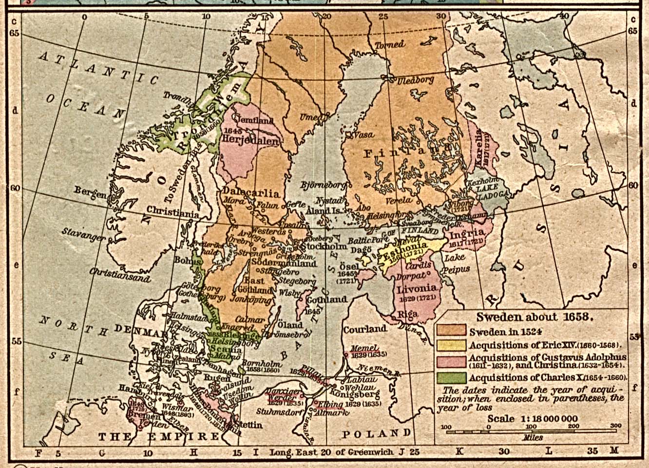
- Map of the lands surrounding the Baltic, 1617
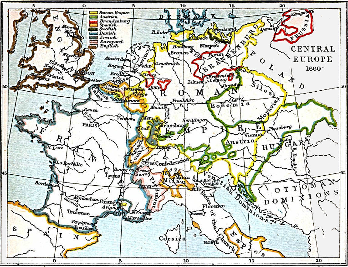
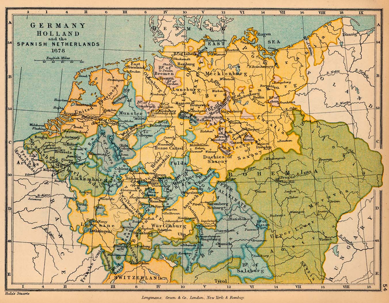
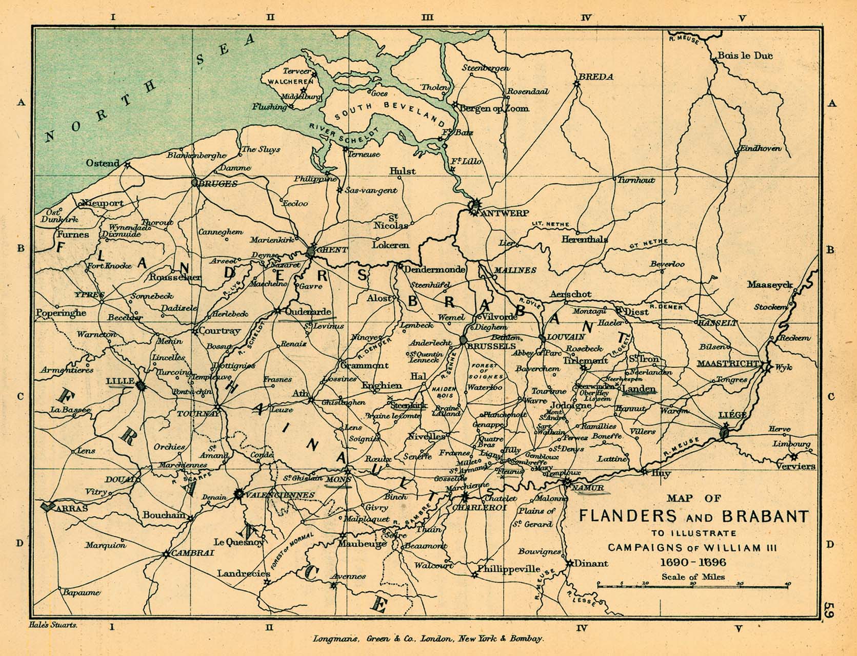
- Map of Central Europe, 1660
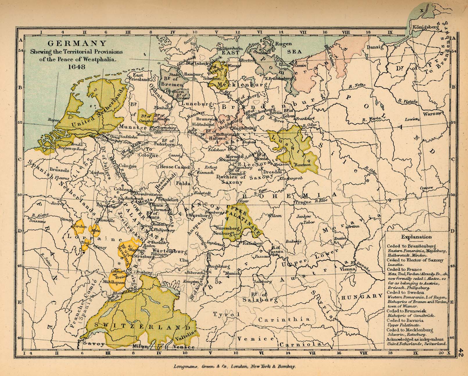
- Map of Europe following the Peace of Westphalia, 1648
- Map of principal wars in Europe, 1618–1660
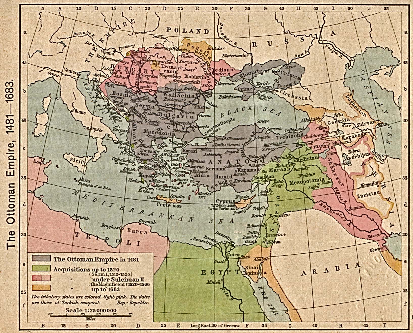
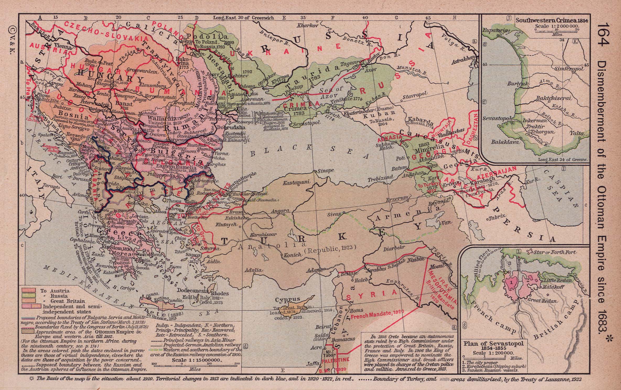
- Map of South-Eastern Europe and Asia Minor, 1672
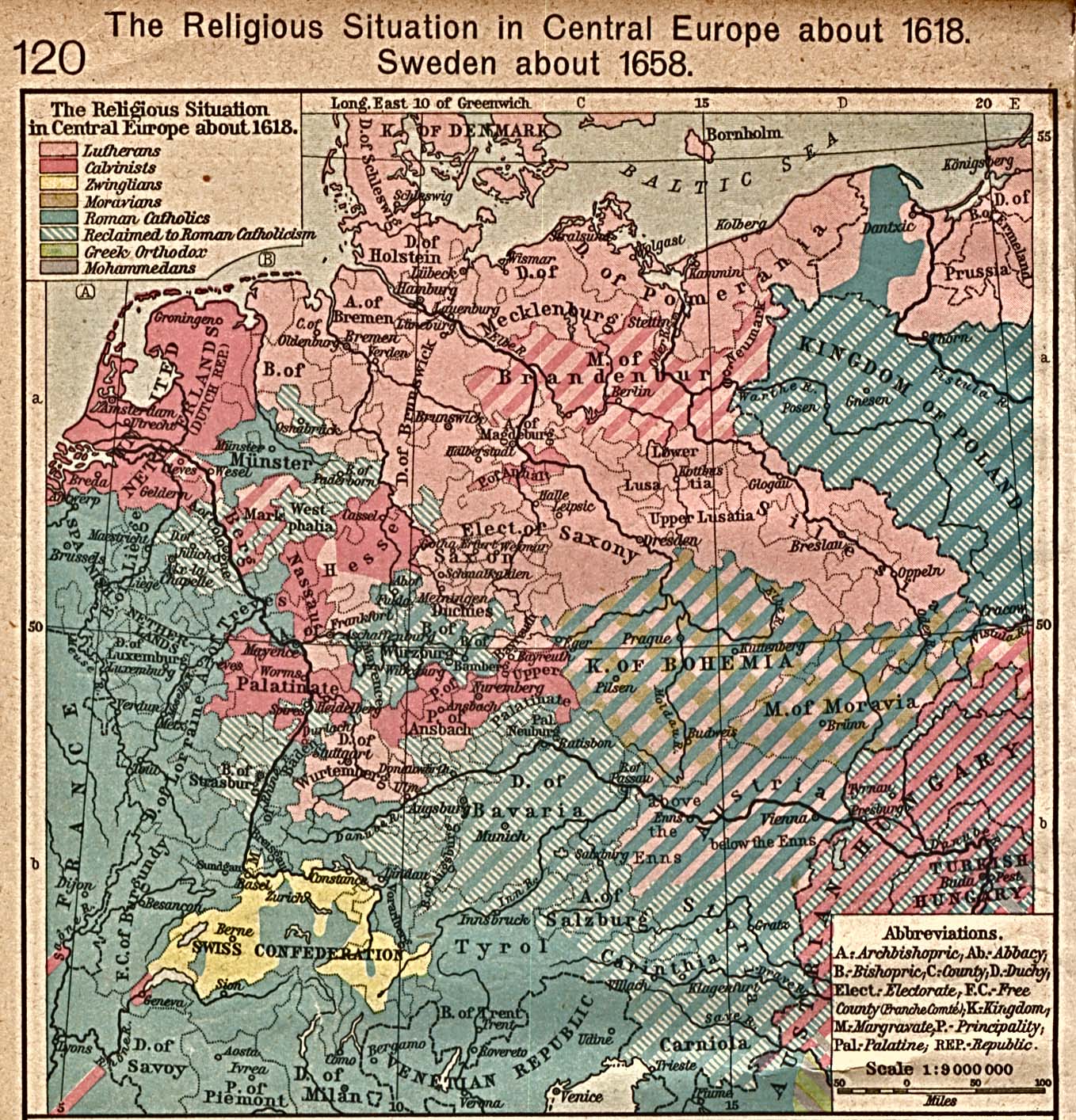
- Religion
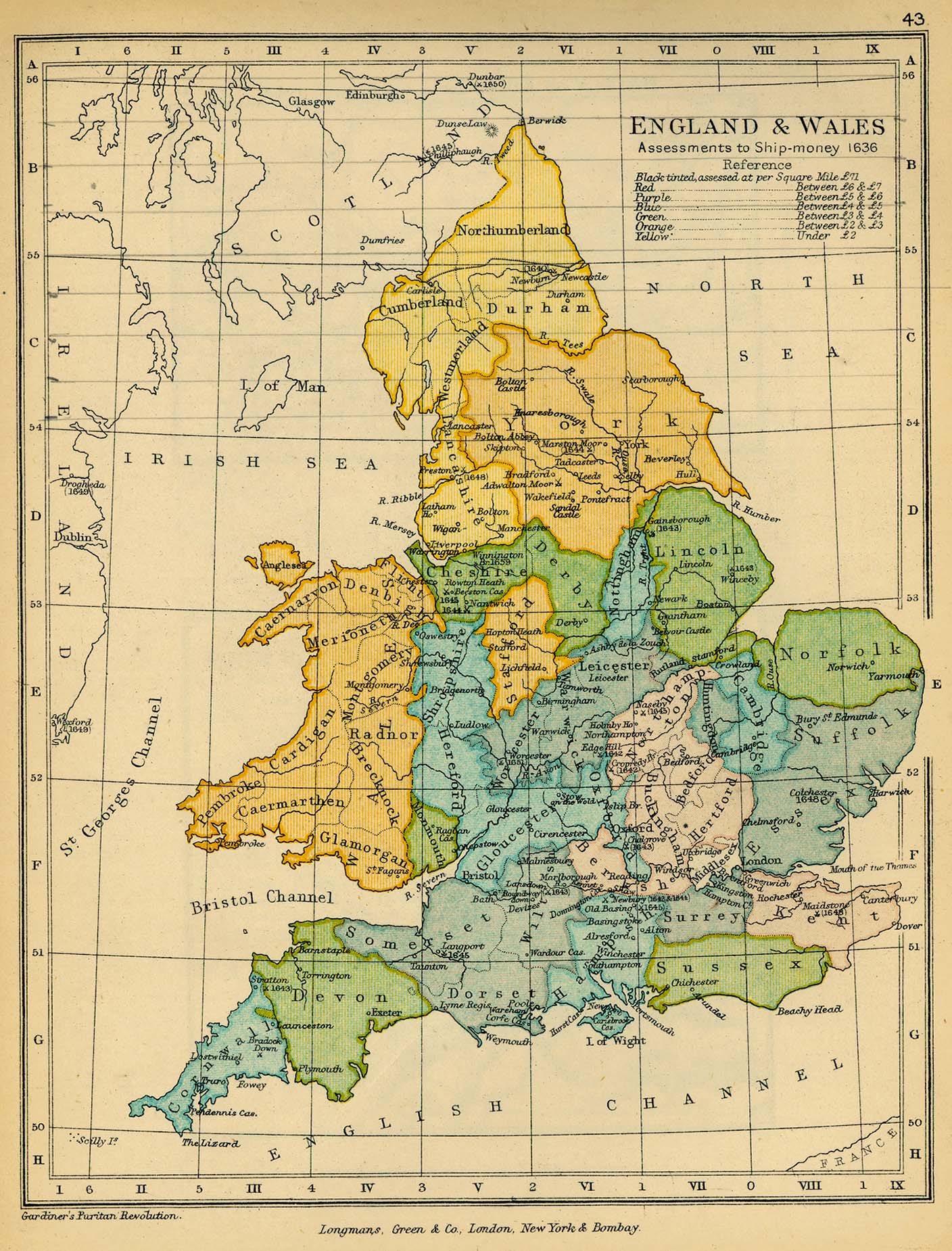
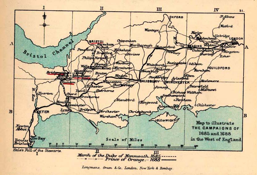
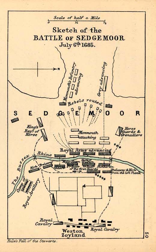
England[edit]
- Maps
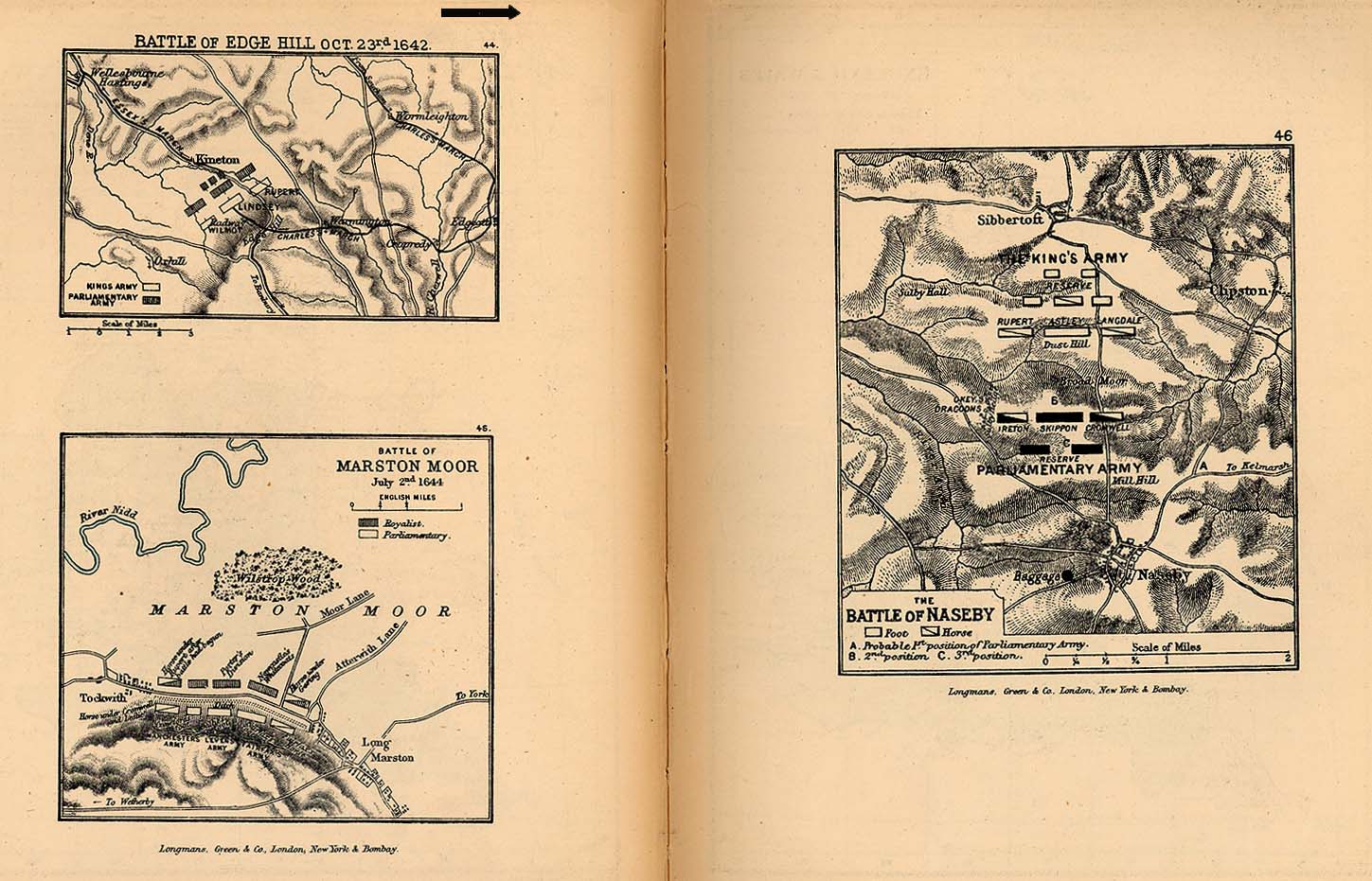
- English Civil War
- Battle maps of Edgehill, Marston Moor and Naseby
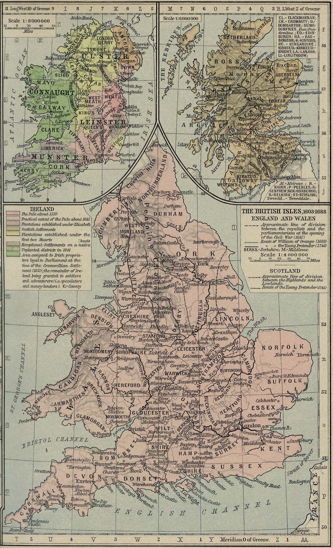
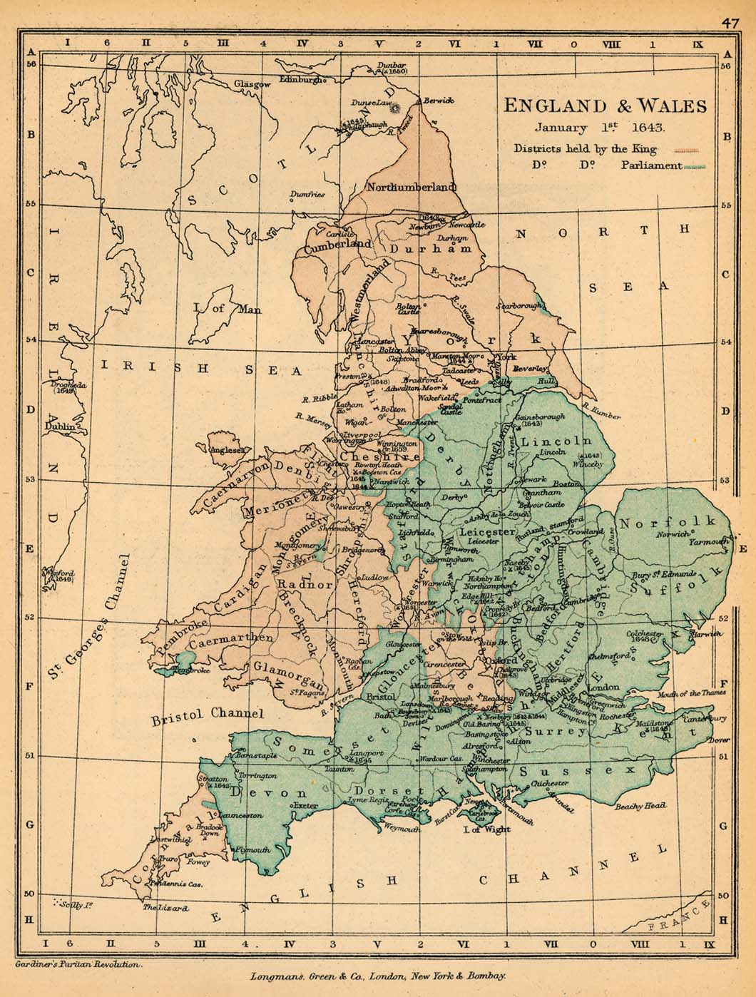
- Map of England and Wales, 1 January 1643, showing areas held by the King and Parliament
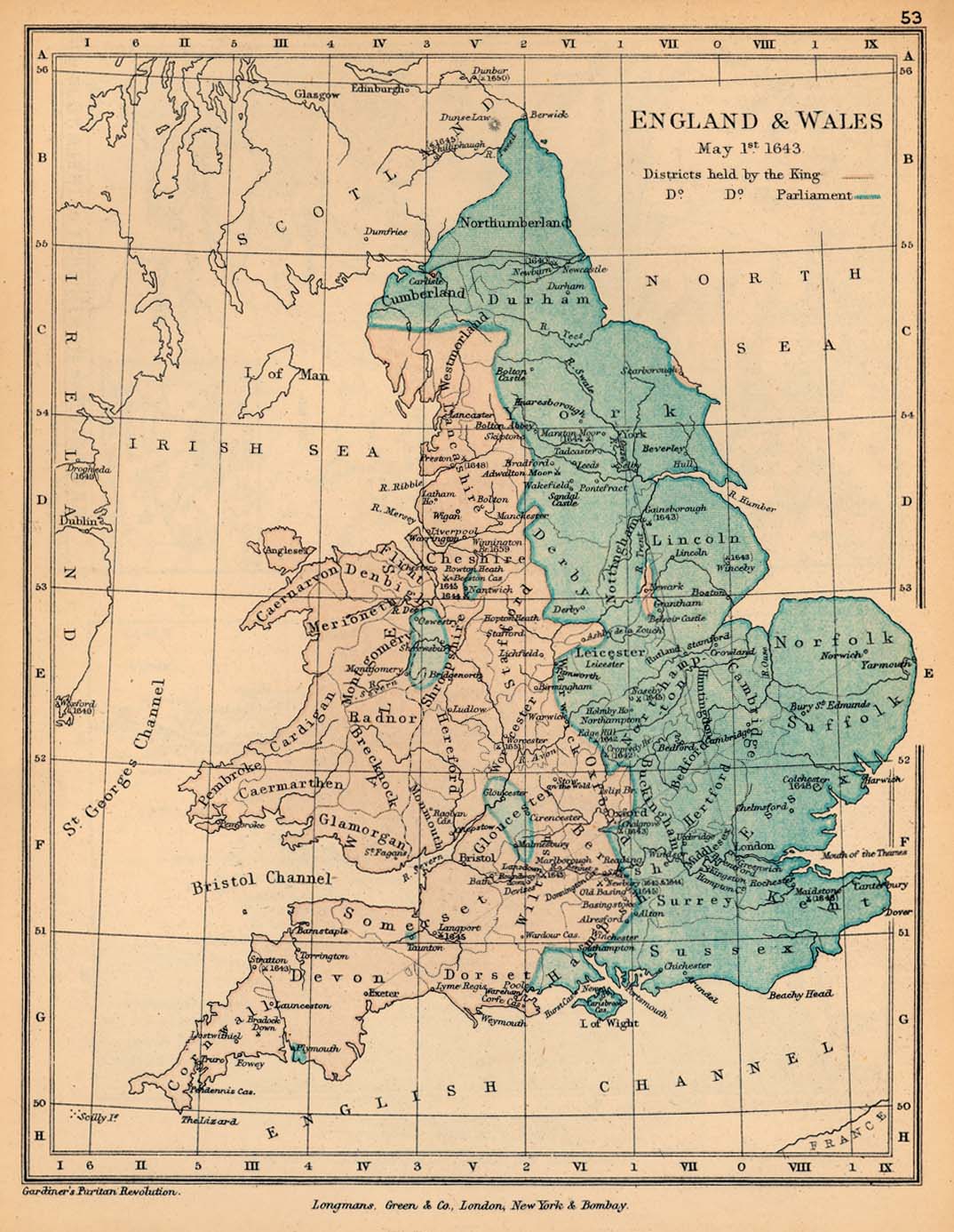
- Map of England and Wales, 1 May 1643, showing areas held by the King and Parliament
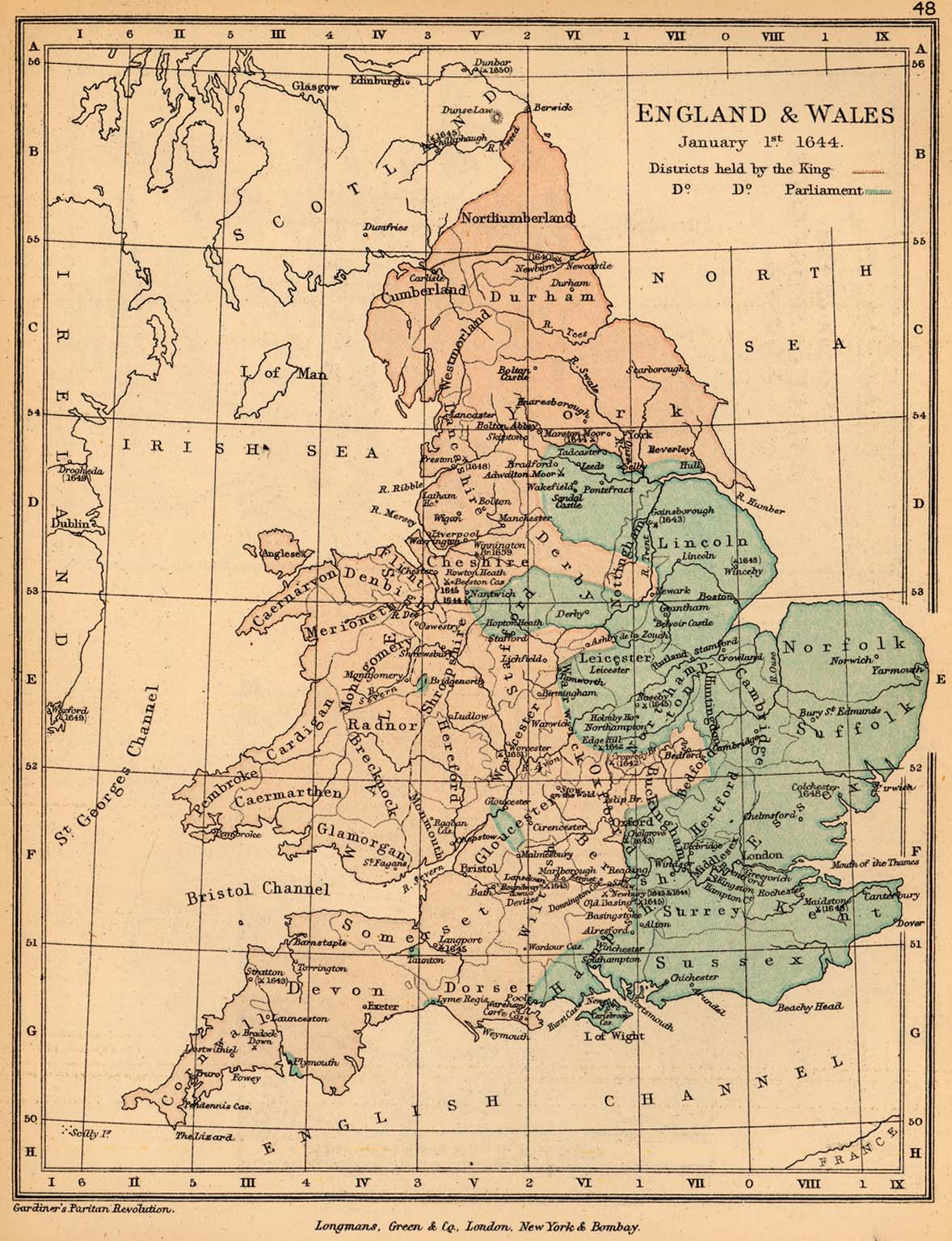
- Map of England and Wales, 1 January 1644, showing areas held by the King and Parliament
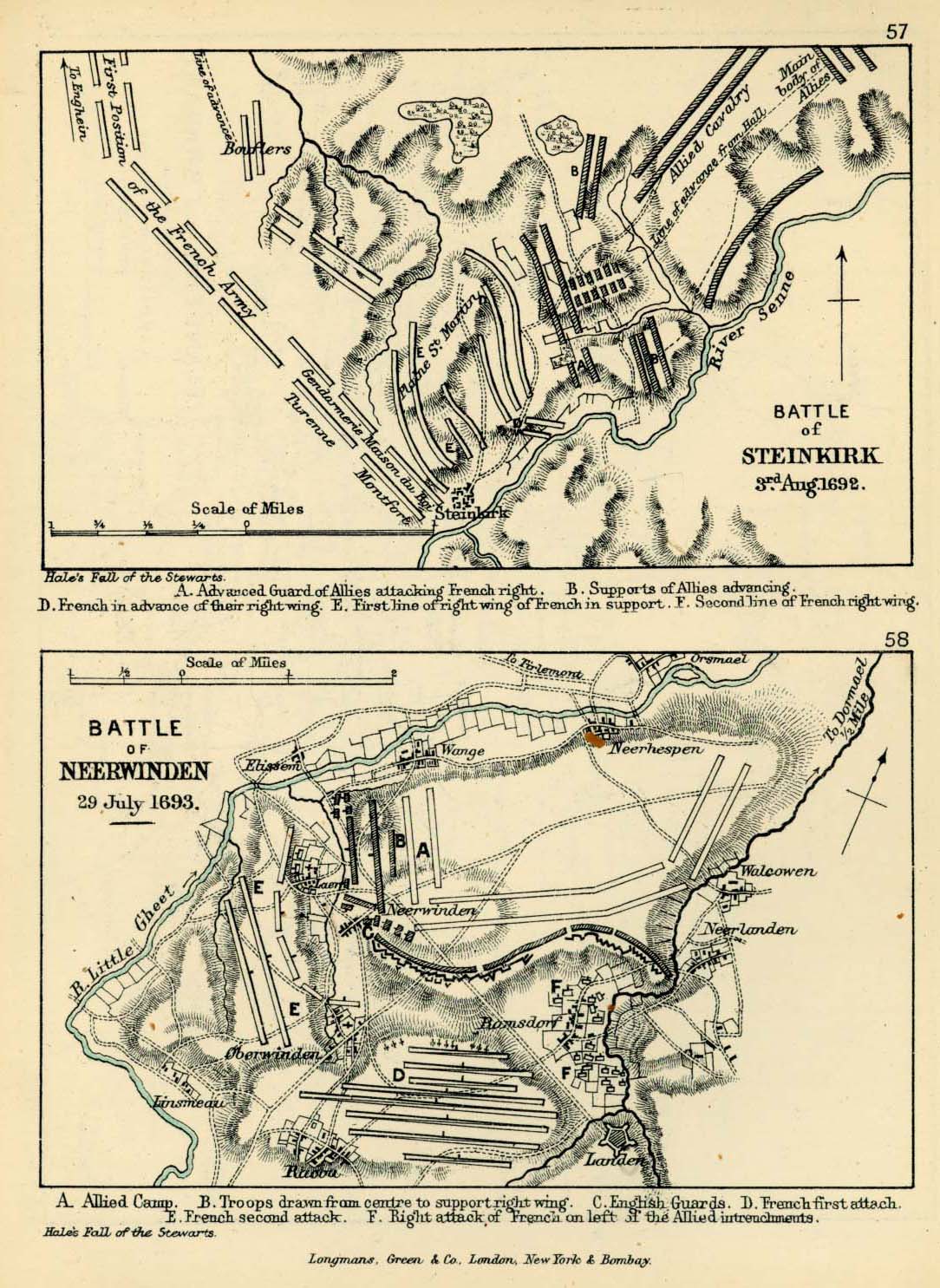
France[edit]
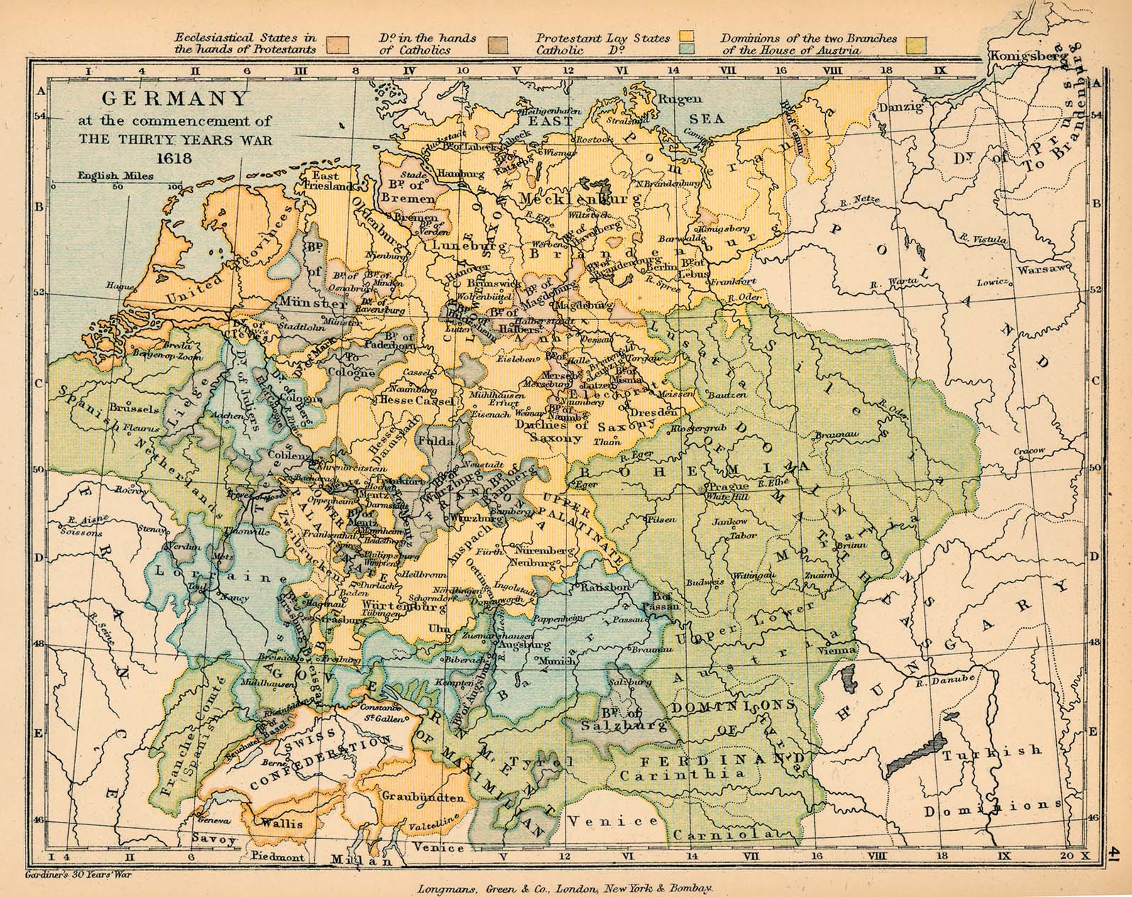
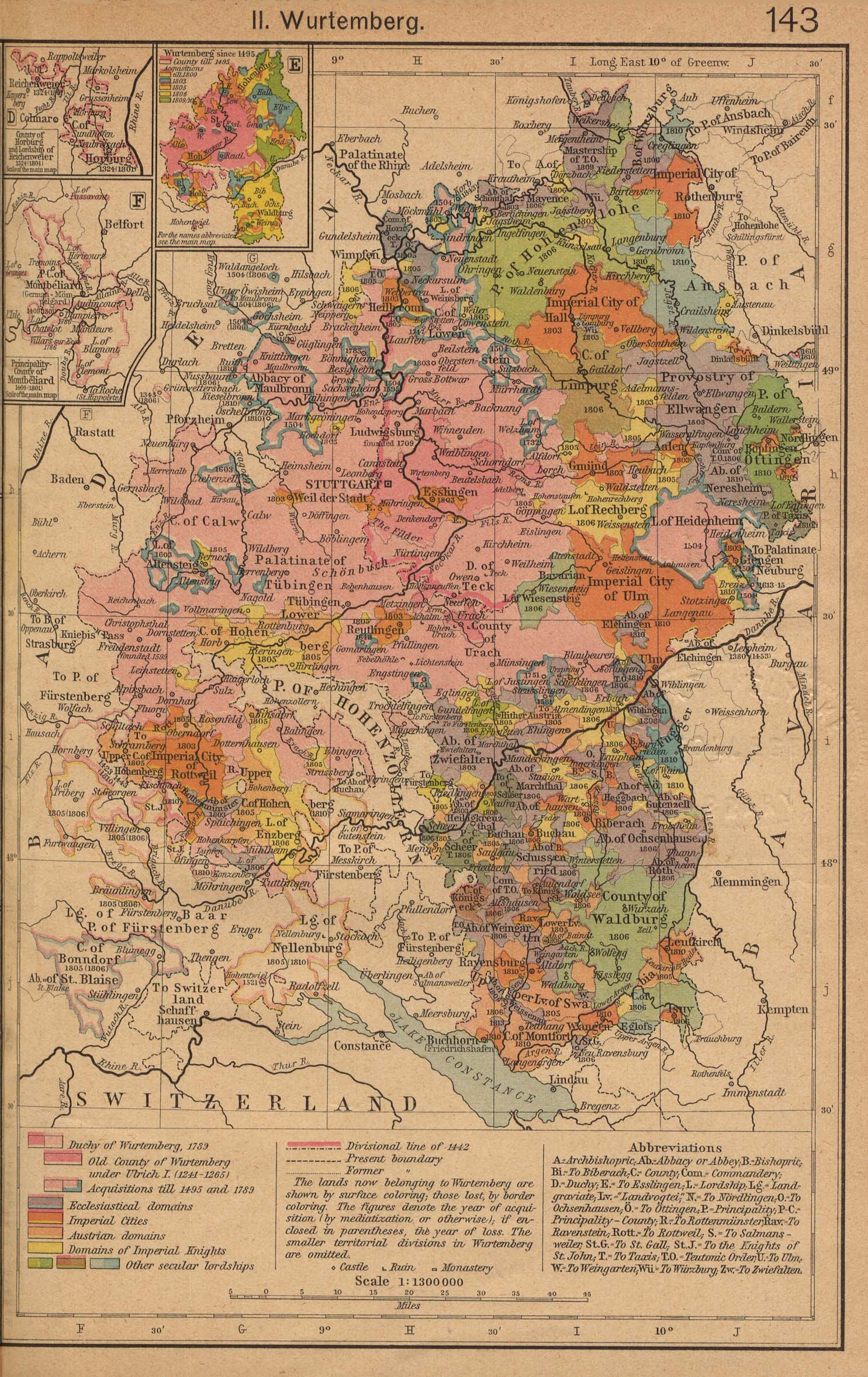
Holy Roman Empire[edit]
- Maps
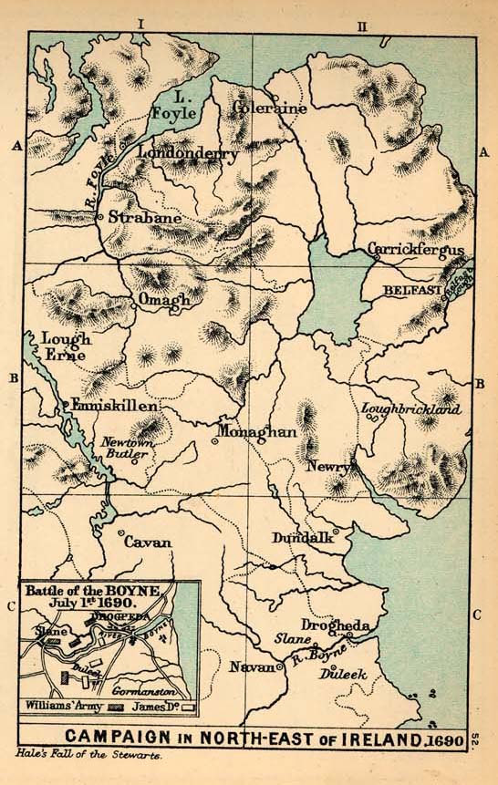
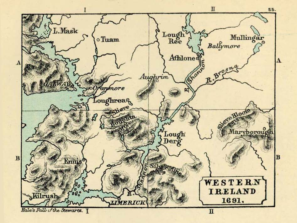
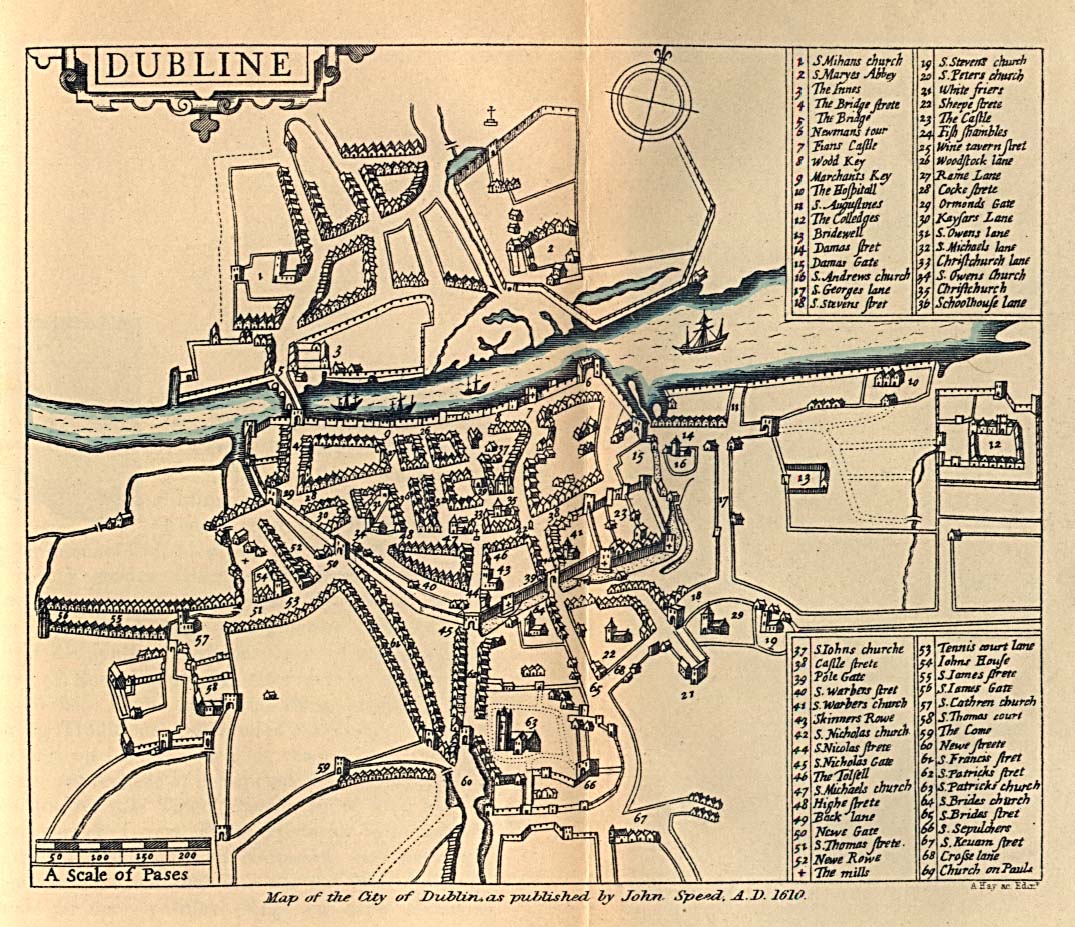
Ireland[edit]
- Maps
- Dublin
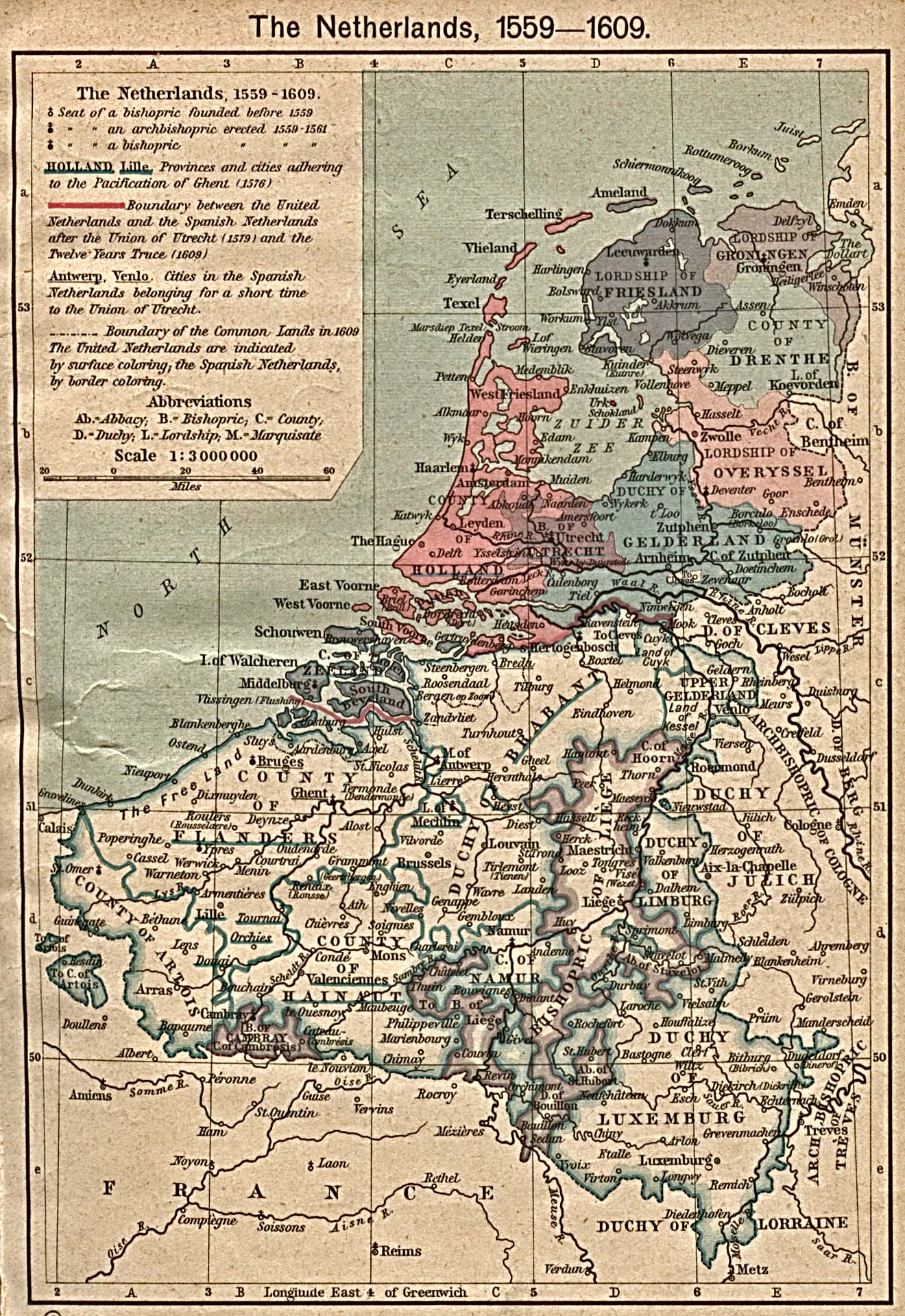
Netherlands[edit]
- Maps
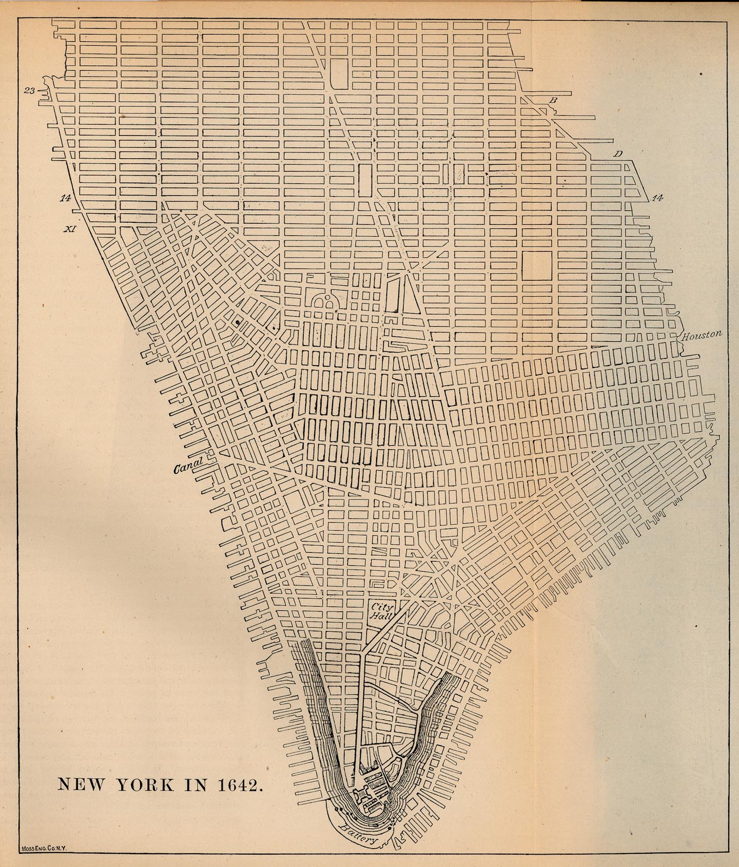
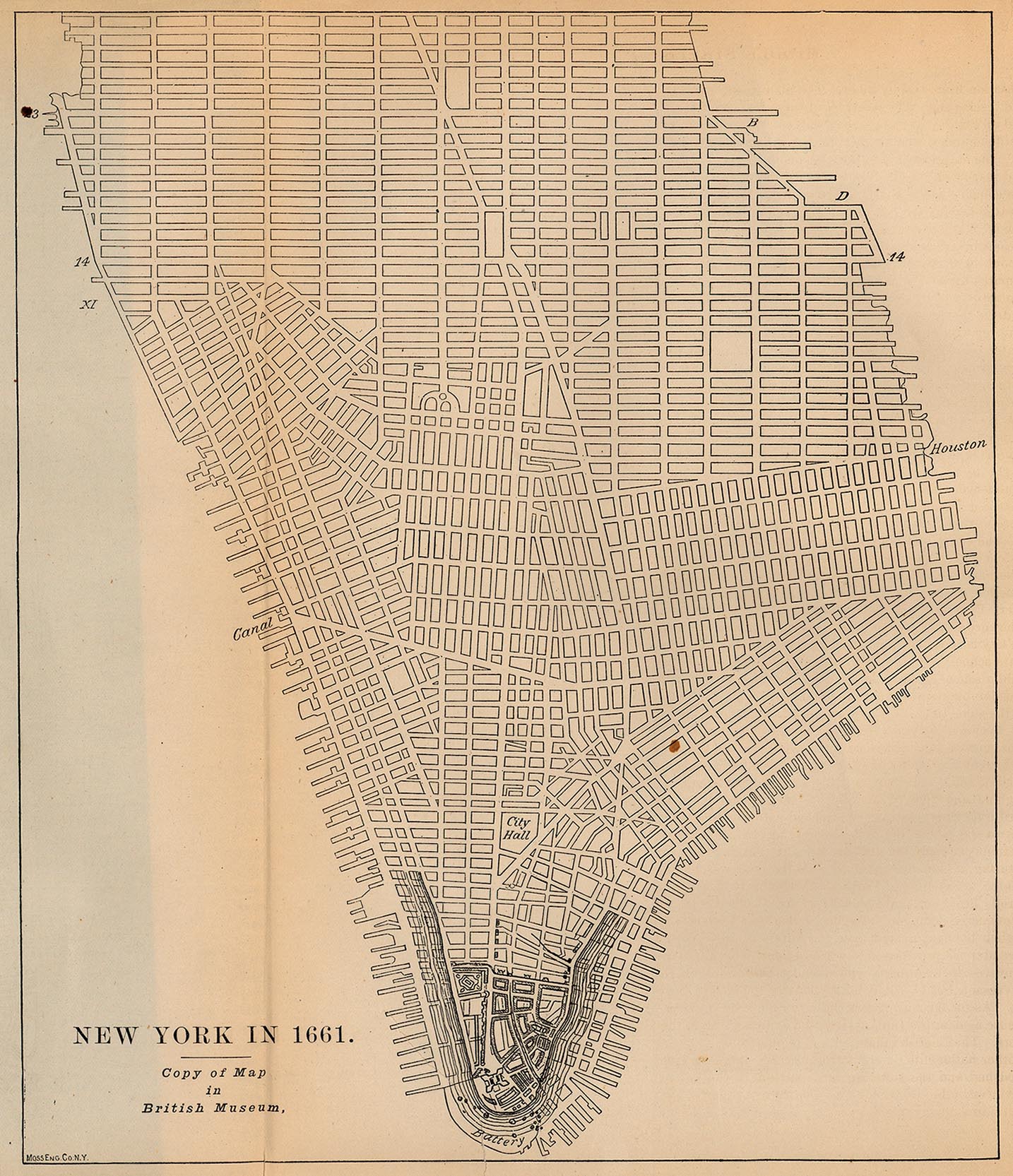
British North America[edit]
- Maps
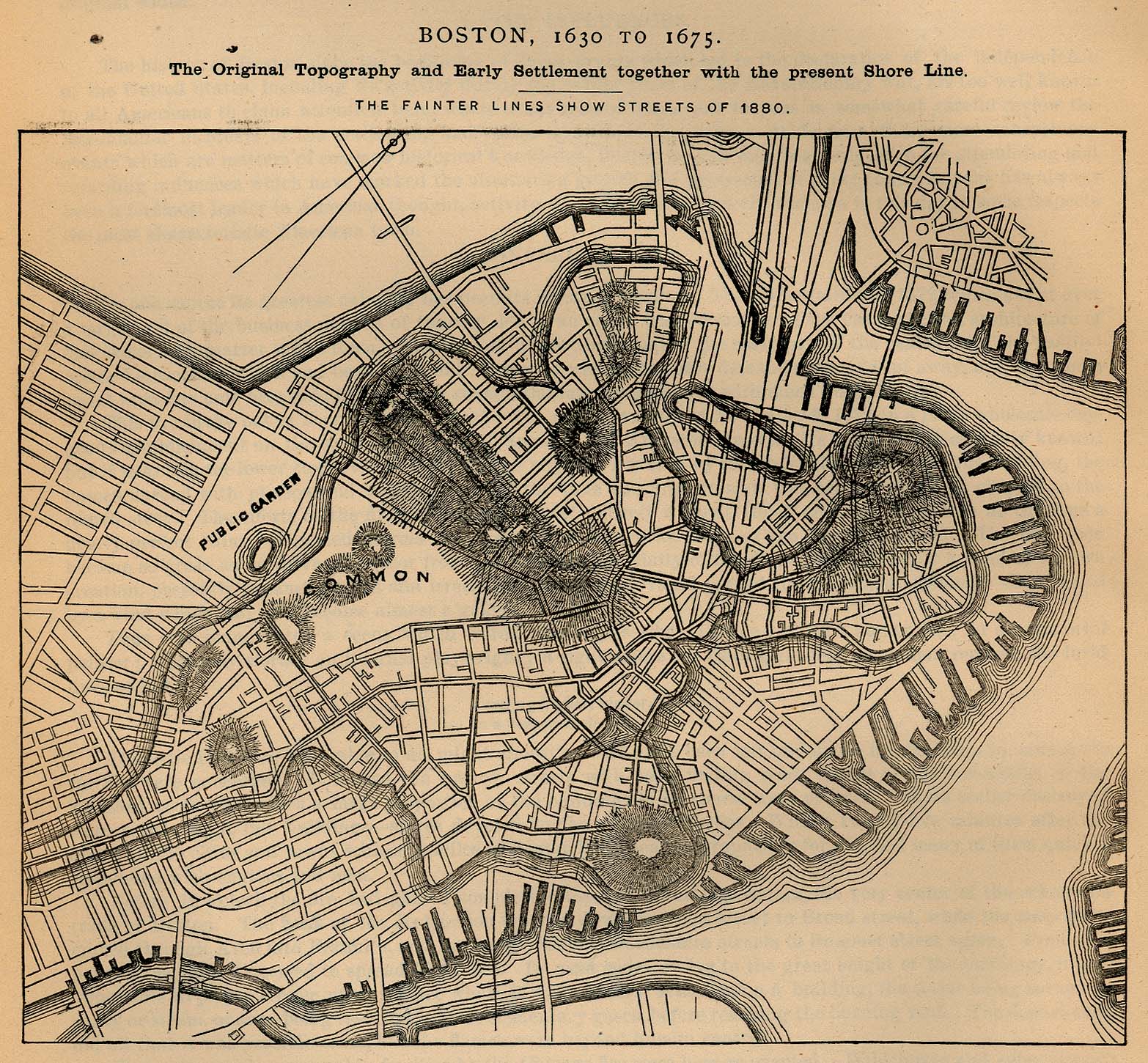
- New York City
- Other cities