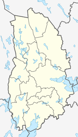
Vretstorp
Appearance
Vretstorp | |
|---|---|
Clockwise from top
People's House, Crystal Church, and Vretstorp People's park | |
| Coordinates: 59°02′N 14°52′E / 59.033°N 14.867°E | |
| Country | Sweden |
| Province | Närke |
| County | Örebro County |
| Municipality | Hallsberg Municipality |
| Area | |
| • Total | 1.83 km2 (0.71 sq mi) |
| Population (31 December 2010)[1] | |
| • Total | 842 |
| • Density | 460/km2 (1,200/sq mi) |
| Time zone | UTC+1 (CET) |
| • Summer (DST) | UTC+2 (CEST) |
Vretstorp is a locality situated in Hallsberg Municipality, Örebro County, Sweden.
Demographics
[edit]| City | Population |
|---|---|
| 1960 | |
| 1965 | |
| 1970 | |
| 1975 | |
| 1980 | |
| 1990 | |
| 1995 | |
| 2000 | |
| 2005 | |
| 2010 | |
| 2015 |
References
[edit]- ^ a b "Tätorternas landareal, folkmängd och invånare per km2 2005 och 2010" (in Swedish). Statistics Sweden. 14 December 2011. Archived from the original on 2012-01-27. Retrieved 10 January 2012.
- ^ "Landareal per tätort, folkmängd och invånare per kvadratkilometer. Vart femte år 1960 - 2016". statistikdatabasen.scb.se. 2016. Archived from the original on 2017-06-13. Retrieved 2024-02-14.


