
Wallal, Queensland
| Wallal Queensland | |
|---|---|
 Wallal | |
| Coordinates | 26°36′55″S 146°07′34″E / 26.6152°S 146.1261°E |
| Postcode(s) | 4470 |
| Time zone | AEST (UTC+10:00) |
| LGA(s) | Shire of Murweh |
| State electorate(s) | Warrego |
| Federal division(s) | Maranoa |
Wallal is a rural town in the Shire of Murweh, Queensland, Australia.[1] The town is within the locality of Bakers Bend.[2]
History
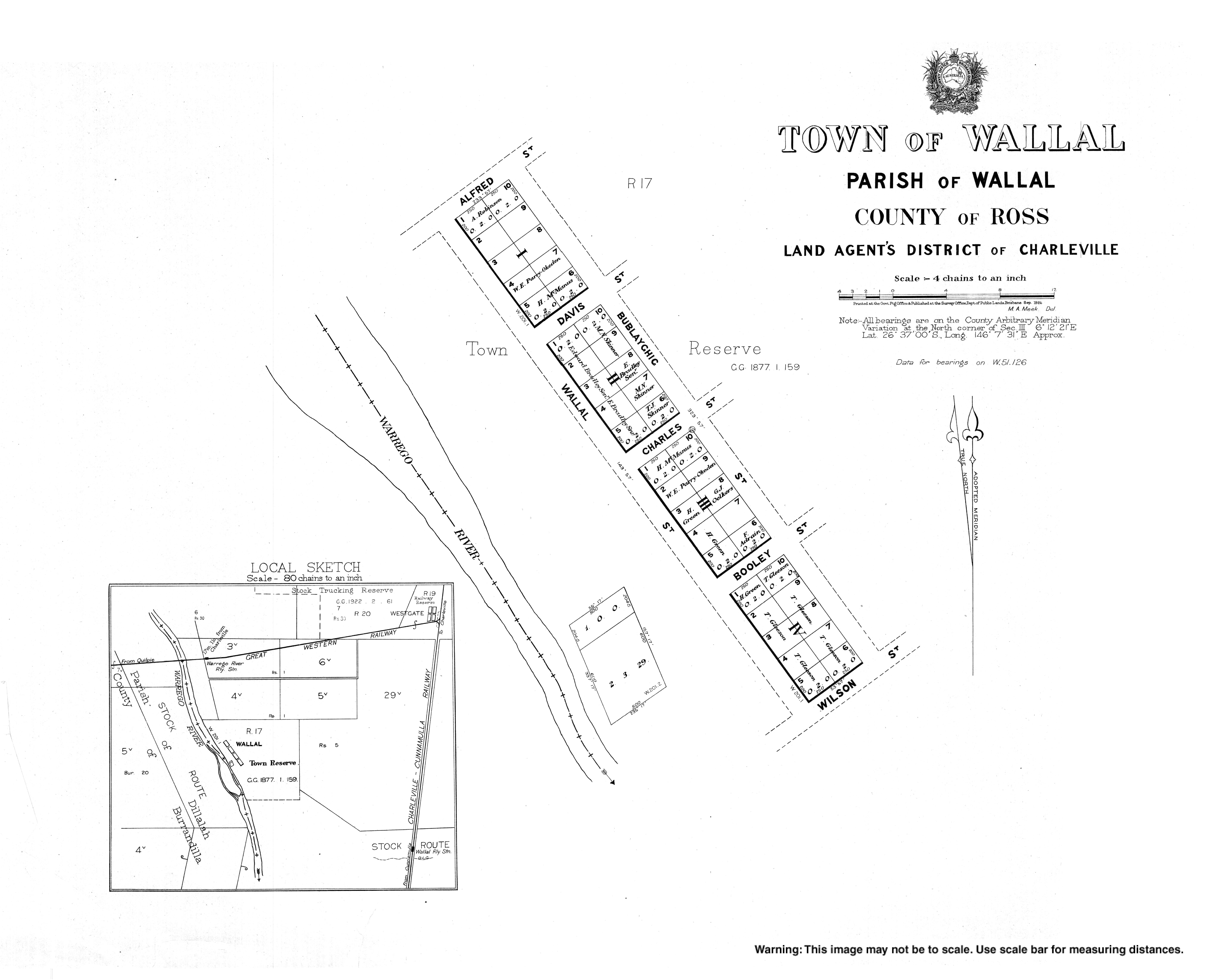
[edit]The town of Wallal first appears on an 1877 survey plan.[1]
Wallal Provisional School opened in 1900 and closed in 1907.[3]
References
[edit]- ^ a b "Wallal – town in Shire of Murweh (entry 36303)". Queensland Place Names. Queensland Government. Retrieved 30 November 2019.
- ^ "Queensland Globe". State of Queensland. Retrieved 8 January 2020.
- ^ Queensland Family History Society (2010), Queensland schools past and present (Version 1.01 ed.), Queensland Family History Society, ISBN 978-1-921171-26-0