
Wikipedia talk:WikiProject U.S. Roads/New York/Resources/All-time route list
| This project page does not require a rating on Wikipedia's content assessment scale. It is of interest to the following WikiProjects: | |||||||||||||
| |||||||||||||
Holding pen
[edit]Below are routes that have been found on maps, but need more research to be listed on the main list and/or covered in articles. Issues with each route are marked in red. Feel free to comment on a route in the space below its bulleted list overview.
NY 16B
[edit]- Alignment: 1
- Link: New York State Route 16B
- From: NY 16 in West Seneca
- To: NY 16 in West Seneca
- Routing: Center Road
- Assigned: circa 1932 DPW map
- Removed: TBD
- Coverage: Inclusion in NY 16 article.
NY 60T
[edit]- Alignment: 1
- Link: New York State Route 60T
- From: Stillwater
- To: NY 5 in Dunkirk
- Routing:
- Assigned: Never designated.
- Removed: Never designated.
- Coverage: Inclusion in NY 60 article.
Proposed route designed as a truck bypass of Route 60 in April 1947 from Stillwater to Dunkirk. Mitch32(The best ideas are common property.) 16:51, 4 August 2015 (UTC)
NY 61
[edit]- Alignment: 2
- Link: New York State Route 61 (1934–1940s)
- From: Croton Reservoir (NY 129)
- To: Cortlandville (Oregon Road, formerly NY 130)
- Routing: Croton Avenue, Crompond Road, and Locust Avenue
- Assigned: ca. 1934 (1933, 1934 RMcN)
- Removed: between 1945 (NJ RMcN) and 1949 (GD)
- Coverage: TBD; also see NY 122
Originally ended at Peekskill (Highland Avenue, then US 9), following Oregon Road and Dogwood Road from Cortlandville (1934 RMcN) – TMF 11:56, 21 January 2011 (UTC)
101-200
[edit]NY 122
[edit]- Alignment: 1
- Link: New York State Route 122 (1931–1934)
- From: Croton Reservoir (NY 129)
- To: Peekskill (Highland Avenue, then US 9)
- Routing: Croton Avenue, Crompond Road, Locust Avenue, Oregon Road, and Dogwood Road
- Assigned: ca. 1931 (1930 GD, 1931 Gousha)
- Removed: ca. 1934 (1933, 1934 RMcN)
- Coverage: TBD; also see NY 61
NY 136
[edit]- Alignment: 1
- Link: New York State Route 136 (1931–1938)
- From: North Castle (NY 22)
- To: CT state line
- Routing: Banksville, Round Hill, and Bedford-Banksville Roads
- Assigned: ca. 1931 (1930 GD, 1931 Gousha)
- Removed: ca. 1938 (1937 Gousha, 1938 GD)
- Coverage: TBD
NY 140
[edit]- Alignment: 1
- Link: TBD
- From: Croton Reservoir (NY 131)
- To: FDR State Park (NY 132A)
- Routing: presumably a proposed highway in Yorktown; its routing doesn't correspond to any modern roads
- Assigned: ca. 1932 (1931 Gousha, 1932 RMcN)
- Removed: between 1934 (RMcN) and 1936 (Gousha)
- Coverage: TBD
NY 182
[edit]- Alignment: 1
- Link: New York State Route 182 (1933–1935)
- From: Palermo (NY 3D)
- To: Hastings (US 11)
- Routing: proposed road? to East Palermo, Oswego CR 45 to Hastings
- Assigned: ca. 1933 (1932, 1933 RMcN)
- Removed: April 1935[1]
- Coverage: Oswego County route list
- Alignment: 2
- Link: New York State Route 182 (1935–1939)
- From: Hastings (US 11)
- To: Constantia (NY 49)
- Routing: proposed? connector along north shore of Oneida Lake
- Assigned: April 1935[1]
- Removed: ca. 1939 (1938 GB, 1939 GD)
- Coverage: TBD
201-300
[edit]NY 231
[edit]- Alignment: 1
- Link: New York State Route 231 (1931–1939)
- From: Butler (NY 414)
- To: Conquest (NY 38)
- Routing: South Butler-Conquest, Spring Lake, and Fuller Roads
- Assigned: ca. 1931 (1930 GD, 1931 Gousha)
- Removed: ca. 1939 (1938 GB, 1939 GD)
- Coverage: TBD
NY 278
[edit]- Alignment: 1
- Link: New York State Route 278 (1930–1935)
- From: Boston (NY 75)
- To: Holland (NY 16)
- Routing: Erie CRs 443, 442, 222, NY 240, CR 240
- Assigned: 1930 (NYT)
- Removed: ca. 1935 (1934, 1935 RMcN)
- Coverage: Erie CR list
NY 292
[edit]- Alignment: 1
- Link: New York State Route 292 (1935–1938)
- From: Jerusalem (NY 54A)
- To: Bluff Point
- Routing: Skyline Drive
- Assigned: ca. 1935 (1934, 1935 RMcN)
- Removed: ca. 1938 (1937 Gousha, 1938 GD)
- Coverage: TBD
301-400
[edit]NY 318
[edit]- Alignment: 1
- Link: New York State Route 318 (1931–1950s)
- From: Leyden (NY 12D)
- To: Port Leyden (NY 12)
- Routing: Locust Grove Road, Elm Street, and Main Street
- Assigned: ca. 1931 (1930 GD, 1931 Gousha)
- Removed: between 1958 (GD) and 1960 (RMcN)
- Coverage: TBD
NY 324
[edit]- Alignment: 1
- Link: New York State Route 324 (1932–1933)
- From: Eden (East Eden)
- To: Hamburg (US 62)
- Routing: East Eden and Hamburg Roads
- Assigned: ca. 1932 (1931 Gousha, 1932 RMcN)
- Removed: ca. 1933 (1932, 1933 RMcN)
- Coverage: Erie CR list
NY 338
[edit]- Alignment: 1
- Link: New York State Route 338 (1931–1939)
- From: Whitesville (NY 248)
- To: PA state line
- Routing: Allegany CRs 19 and 19A, Steuben CR 124
- Assigned: ca. 1931 (1930 GD, 1931 Gousha)
- Removed: ca. 1939 (1938 GB, 1939 GD)
- Coverage: TBD
NY 383
[edit]- Alignment: 1
- Link: New York State Route 383 (1930–1935)
- From: Akron (NY 93)
- To: Akron (NY 5)
- Routing: John Street, Parkview Drive, East Avenue, Crittenden Road
- Assigned: 1930 (GD)
- Removed: ca. 1935 (1934, 1935 RMcN)
- Coverage: Erie CR list
NY 389
[edit]- Alignment: 1
- Link: New York State Route 389
- From: Seneca (NY 14A/245)
- To: Seneca (US 20/NY 5)
- Routing: Yaegel Road or Savage and Leet Roads
- Assigned: between 1931 (Gousha) and 1936 (Gousha)
- Removed: between 1940 (Gousha) and 1942 (GD)
- Coverage: TBD
NY 400
[edit]- Alignment: 1
- Link: New York State Route 400 (1930s)
- From:
- To:
- Routing: TBD
- Assigned: by 1932
- Removed: by 1935
- Coverage: Erie CR list
800-999 (former reference routes)
[edit]- Route 807: somewhere in Cornwall (unconfirmed from the NYCRR)
- Route 815: Shortman Road in Ripley (Route 950D) (unconfirmed from the NYCRR)
- Route 819: Crescent Road in Clifton Park (Route 911P) (Route 819 is on the Traffic Volume Report)
- Route 821: Bear Mountain State Parkway (Route 987H) - 821
- Route 822: Ushers Road (Route 911T) in Clifton Park (confirmed by reference markers, which say 822)
- Route 823: George Avenue etc. (Route 911U) in Round Lake - 823
- Route 825: North Main Street in Prattsburgh – 825
- Route 837: Roberts Road in Dunkirk; now CR 136 - 837
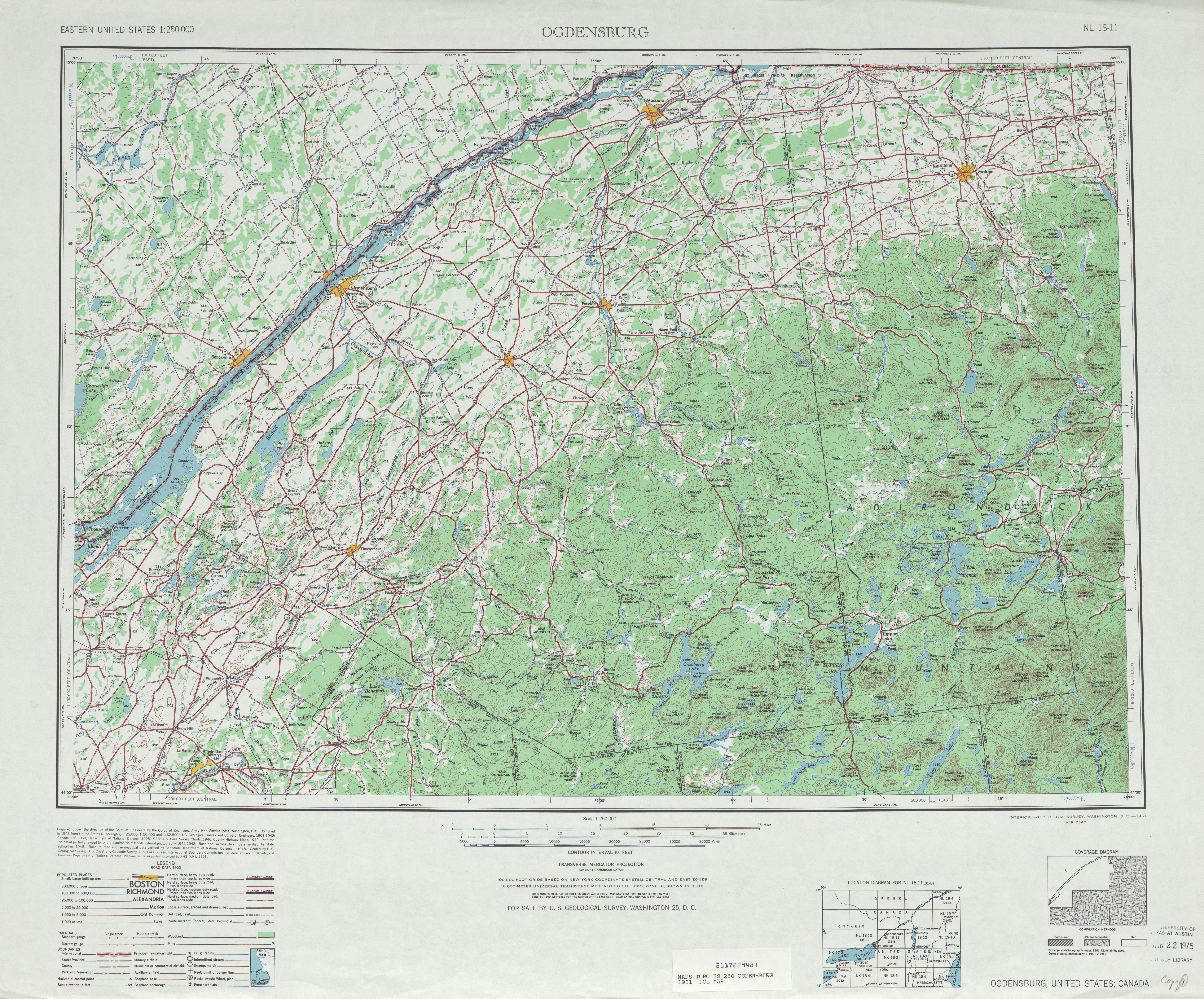
- Route 853: Now St. Lawrence County Route 55 in Lawrenceville (Marked on 1951 USGS topo)
- Route 855: somewhere in Angelica - 855
- Route 856: Reference Route 960B (North Main Street) in Alfred. (Page 384 in TDR)
- Route 858: Prospect Road (Route 920V) in Remsen - 858
- Route 862: Riverside Drive (Route 920P) in Johnsville and Glen. (Marked on the Traffic Data Report as 862)
- Route 866: Babcock Hollow Road (Route 960U) in Bath. (Marked on the Traffic Data Report as 866)
- Route 897: Morning Thorpe Avenue in Southeast? - 897
- Route 898: Washington Avenue (Route 981K) in Ulster (unconfirmed from the NYCRR)
- Route 903: Bridge Road (then-Route 910L, now NY 185) in Crown Point - 903
- Route 904: Glen Cove Road (Route 900B) in Oyster Bay - 904
- Route 918: Old Floyd Road in Floyd - 918
- Route 919: Burrstone Road (Route 921B) in New Hartford (unconfirmed from the NYCRR)
- Route 920: somewhere in Deerfield (unconfirmed from the NYCRR)
- Route 921: Reference Route 921D in Barneveld (Page 334/338 of the TDC)
- Route 922: somewhere in New Hartford - 922
- Route 923: Reference Route 921F in Oneida County (Utica County line to Penn Central Railroad) (Page 334/338 of the TDC)
- Route 927: Reference Route 920T in Canajoharie (ex-NY 361, original) (Page 371 of the TDR)
- Route 928: connection (Route 921G) in Salisbury - 928
- Route 948: Mt. McGregor Road in Wilton - 948
- Route 951: Altamont Avenue (Route 911H) in Rotterdam - 951
- Route 955: Former NY 401 in Stockport
- Route 956: Main Street (Route 980B) in Kinderhook - 956
- Route 957: Old US 20 (Route 980C) in New Lebanon (unconfirmed by the NYCRR)
- Route 958: Connector to MA 102 (Route 980D) in State Line
- Route 959: Connector between NY 71 and NY 22
- Route 960: Old NY 22 (Route 980F) in Copake - 960
- Route 962: NY 52 Business (Route 980J) in Fishkill - 962
- Route 968: Old State Road (Route 980U) in Highlands - 968
- Route 978: Reservoir Road (Route 981L) in Olive (unconfirmed by the NYCRR)
- Route 979: Ulster Avenue (Route 981M) in Ulster - 979
- Route 989: 9.31 mile road in Hancock - 989
- ^ a b "Route Changes in State Listed". New York Post. March 30, 1935. p. 18. Retrieved June 13, 2017. Cite error: The named reference "1935changes1" was defined multiple times with different content (see the help page).
Categories:
- Project-Class New York road transport articles
- NA-importance New York road transport articles
- Project-Class Road transport articles
- NA-importance Road transport articles
- New York state highway articles
- Project-Class U.S. road transport articles
- NA-importance U.S. road transport articles
- U.S. road transport articles