
Washington State Route 508
State Route 508 | ||||
|---|---|---|---|---|
 SR 508 is highlighted in red. | ||||
| Route information | ||||
| Auxiliary route of I-5 | ||||
| Maintained by WSDOT | ||||
| Length | 32.84 mi[1] (52.85 km) | |||
| Existed | 1964[2]–present | |||
| Major junctions | ||||
| West end | ||||
| East end | ||||
| Location | ||||
| Country | United States | |||
| State | Washington | |||
| Counties | Lewis | |||
| Highway system | ||||
| ||||

State Route 508 (SR 508) is a 32.84-mile (52.85 km) long state highway located in Lewis County within the U.S. state of Washington, extending from an interchange with Interstate 5 (I-5) concurrent with U.S. Route 12 (US 12) in Napavine to SR 7 in Morton. By 1916, a road between Napavine and Cinebar was constructed on the current route of SR 508 and was signed in 1937 as Secondary State Highway 5K (SSH 5K) after being extended to Morton. SSH 5K became SR 508 in 1968 and since then, a segment in Bear Canyon has been reconstructed twice between 2007 and 2009 and a bridge over the Tilton River was reconstructed in 2009.
Route description
[edit]
SR 508 begins at a diamond interchange with Interstate 5 (I-5) concurrent with U.S. Route 12 (US 12) within Napavine city limits.[3] From the interchange, the highway leaves Napavine and travels southeast through an intersection with the Jackson Highway, formerly US 99,[4] to bridge and parallel the South Fork of the Newaukum River, passing Onalaska and Alpha before unparalleling the river and continuing east to Cinebar. East of Cinebar, the roadway starts to parallel the Tilton River through Bear Canyon to Morton, where the road becomes Main Avenue and ends at SR 7, named Second Street.[5][6][7] An estimated daily average of 5,000 motorists used the I-5 / US 12 / SR 508 interchange in 2007, making it the busiest section of the highway;[8] the SR 7 intersection was the busiest section in 1970, with an estimated daily average of 3,200 motorists.[9]
History
[edit]
A road paralleling the current route of SR 508 first appeared on a map in 1916, extending from Napavine to Cinebar.[10] By 1937, the road was extended east to Morton and signed as Secondary State Highway 5K (SSH 5K) in the same year.[11][12] SSH 5K ran from a branch of Primary State Highway 5 (PSH 5) in Morton west to PSH 1 east of Napavine.[12][13] In 1964, a highway renumbering created SR 508 to replace SSH 5K.[2][14][15] Between 1968 and 2008, SR 508 between I-5 and Onalaska used Forest Road and the Jackson Highway to get to Onalaska,[15] but the route was later realigned.[6]
A large flood event in December 1977, due to heavy rainfall and snow melt, severely impacted eastern Lewis County. A log jam led to the destruction of the route's 150 foot (46 metres)-tall Bear Canyon Bridge when the span's sole support tower was broken, fully collapsing the overpass. Located approximately 10 miles (16 km) west of Morton, the bridge was erected in the late 1890s and rebuilt twice in 1917 and 1934. Estimated to cost $2 million, the construction of the replacement bridge was not undertaken until 1982.[16][17]
Additional floods and severe weather caused several further closures and washouts in the 21st century. In early November 2006, heavy rainfall at Bear Canyon[18] resulted in erosion of a cliff on the highway that caused portions of the roadway to fall into the Tilton River.[19] Construction of the repairs began April 23, 2007 and a limited opening happened on June 25.[20][21][22] On July 27, the new road was opened,[23] but during heavy snowfall between December 19 and 22, 2008 and the resulting floods in early January 2009, the area was washed out.[24] On January 29, 2009, SR 508 was reopened through Bear Canyon.[25] A bridge over the Tilton River west of Milton that was built in 1947 and three other bridges on the highway were classified as structurally deficient in 2008 and the Tilton River Bridge was partially closed in April 2009.[26][27] The bridge, like Bear Canyon, was damaged during floods in January 2009 and reopened on June 11.[28]
Major intersections
[edit]The entire route is in Lewis County.
| Location | mi[1] | km | Destinations | Notes | |
|---|---|---|---|---|---|
| Napavine | 0.00 | 0.00 | |||
| | 2.44 | 3.93 | Jackson Highway – Toledo, Chehalis | Former US 99 | |
| Morton | 32.84 | 52.85 | |||
| 1.000 mi = 1.609 km; 1.000 km = 0.621 mi | |||||
References
[edit]- ^ a b Washington State Department of Transportation (2008). "State Highway Log: Planning Report, SR 2 to SR 971" (PDF). Retrieved July 18, 2009.
- ^ a b Washington State Legislature (1970). "RCW 47.17.675: State route No. 508". Retrieved July 18, 2009.
- ^ Washington State Department of Transportation (September 9, 2006). "SR 5 – Exit 71; Junction SR 508 / Napavine Road West" (PDF). Retrieved July 18, 2009.
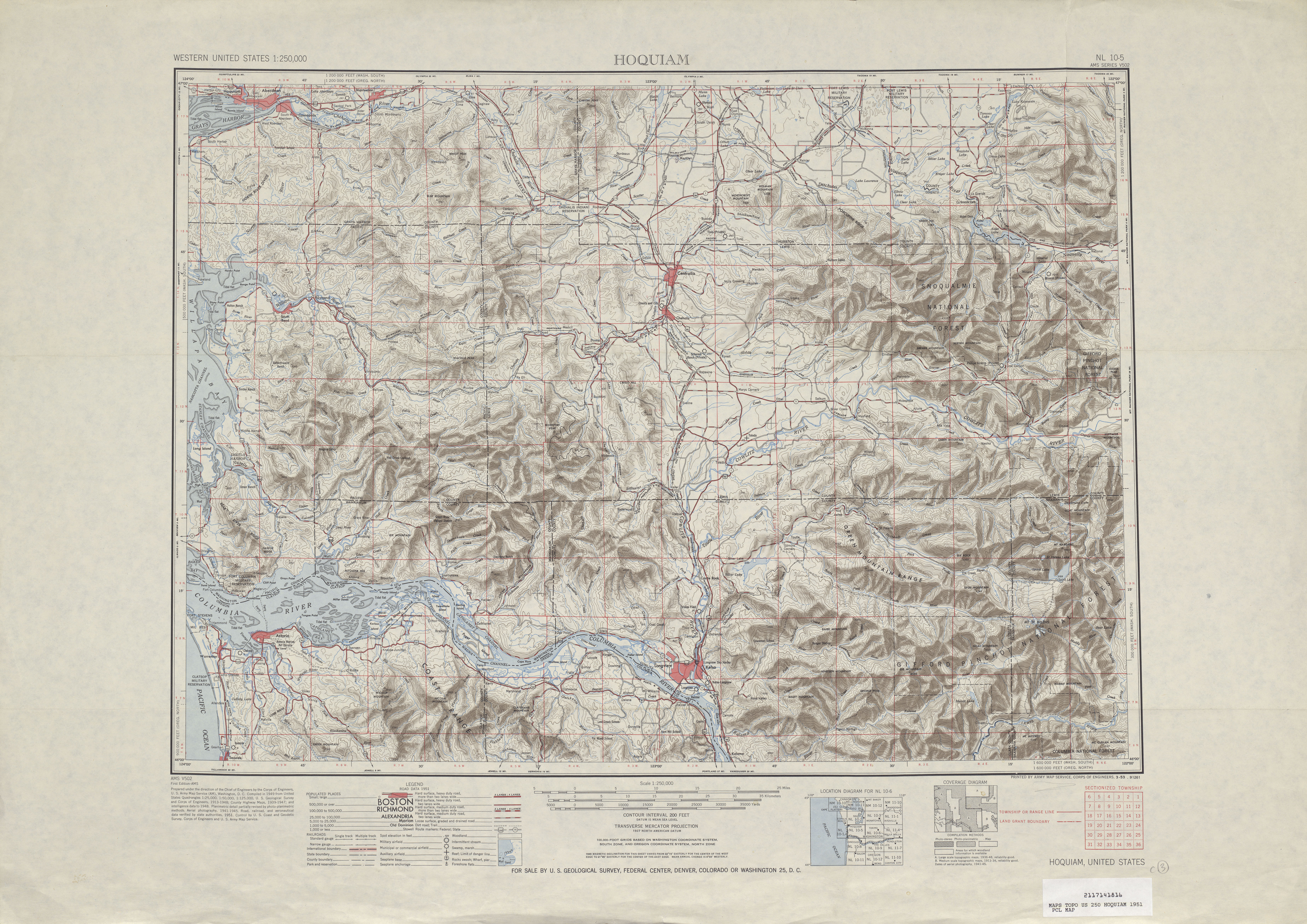
- ^ Hoquiam, 1951 (Map). 1:250,000. Cartography by United States Geological Survey. University of Texas at Austin. 1951. Retrieved July 18, 2009.
- ^ "State Route 508" (Map). Google Maps. Google. July 18, 2009. Retrieved July 18, 2009.
- ^ a b Washington State Highways, 2008–2009 (PDF) (Map) (2008–09 ed.). 1:842,000. Cartography by United States Geological Survey. Washington State Department of Transportation. 2008. § F3. Retrieved July 18, 2009.
- ^ Washington State Department of Transportation (September 17, 2004). "SR 7; Junction SR 508" (PDF). Retrieved July 18, 2009.
- ^ Washington State Department of Transportation (2007). "2007 Annual Traffic Report" (PDF). Retrieved July 18, 2009.
- ^ Washington State Highway Commission, Department of Highways (1970). "Annual Traffic Report, 1970" (PDF). Washington State Department of Transportation. pp. 189–190. Retrieved July 18, 2009.
- ^ Chehalis, 1916 (Map). 1:125,000. Washington 1:125,000 topographic quadrangles. Cartography by United States Geological Survey. Washington State University. 1916. Retrieved July 18, 2009.
- ^ Eatonville, 1937 (Map). 1:125,000. Washington 1:125,000 topographic quadrangles. Cartography by United States Geological Survey. Washington State University. 1937. Retrieved July 18, 2009.
- ^ a b Washington State Legislature (March 18, 1937). "Chapter 207: Classification of Public Highways". Session Laws of the State of Washington (1937 ed.). Olympia, Washington: Washington State Legislature. p. 1004. Retrieved July 18, 2009.
(j) Secondary State Highway No. 5K; beginning at Morton on Primary State Highway No. 5, thence in a westerly direction by the most feasible route by way of Onalaska to a junction with Primary State Highway No. 1 south of Chehalis.
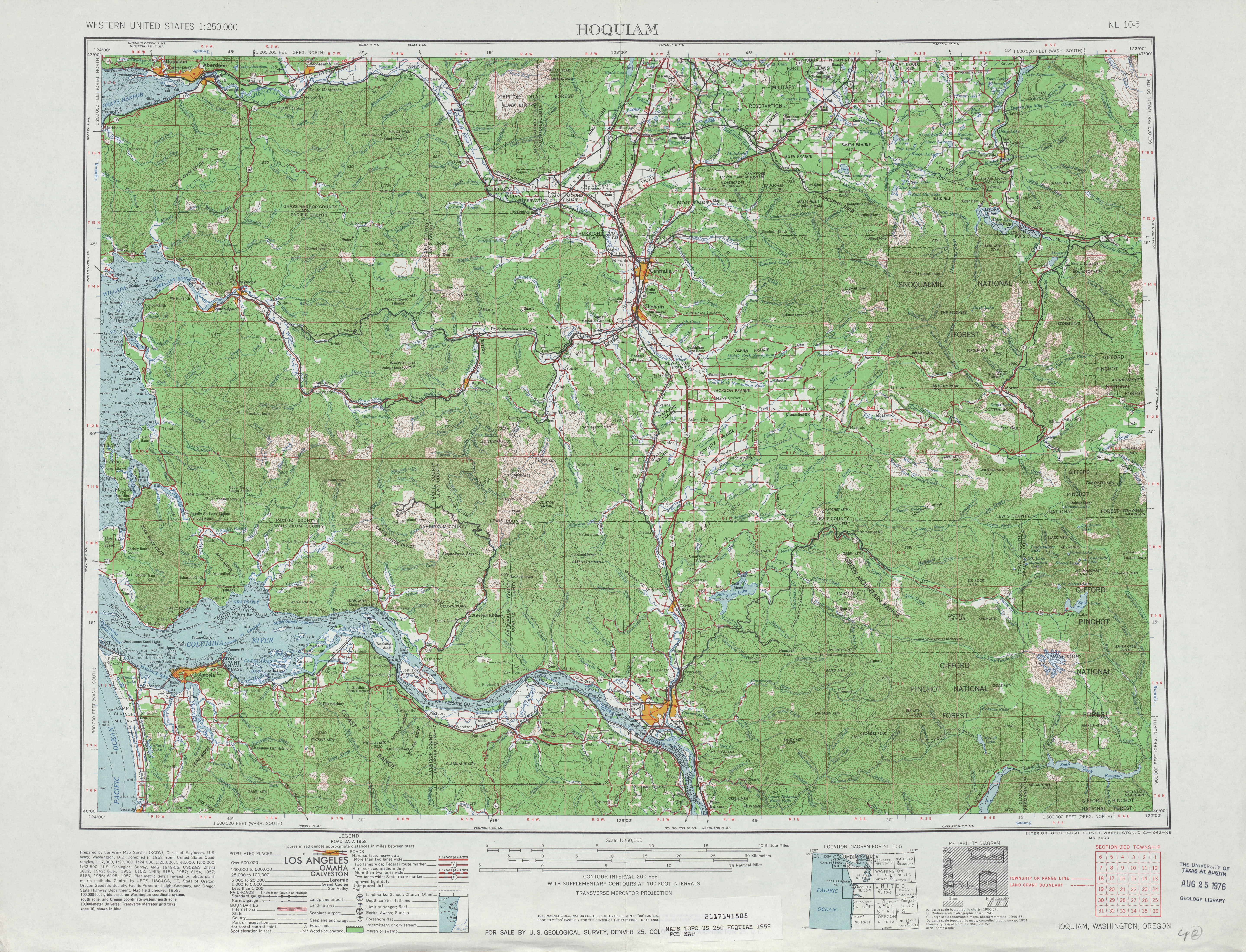
- ^ Hoquiam, 1958 (Map). 1:250,000. Cartography by United States Geological Survey. University of Texas at Austin. 1958. Retrieved July 18, 2009.
- ^ C. G. Prahl (December 1, 1965). "Identification of State Highways" (PDF). Washington State Highway Commission, Department of Highways. Retrieved July 18, 2009.
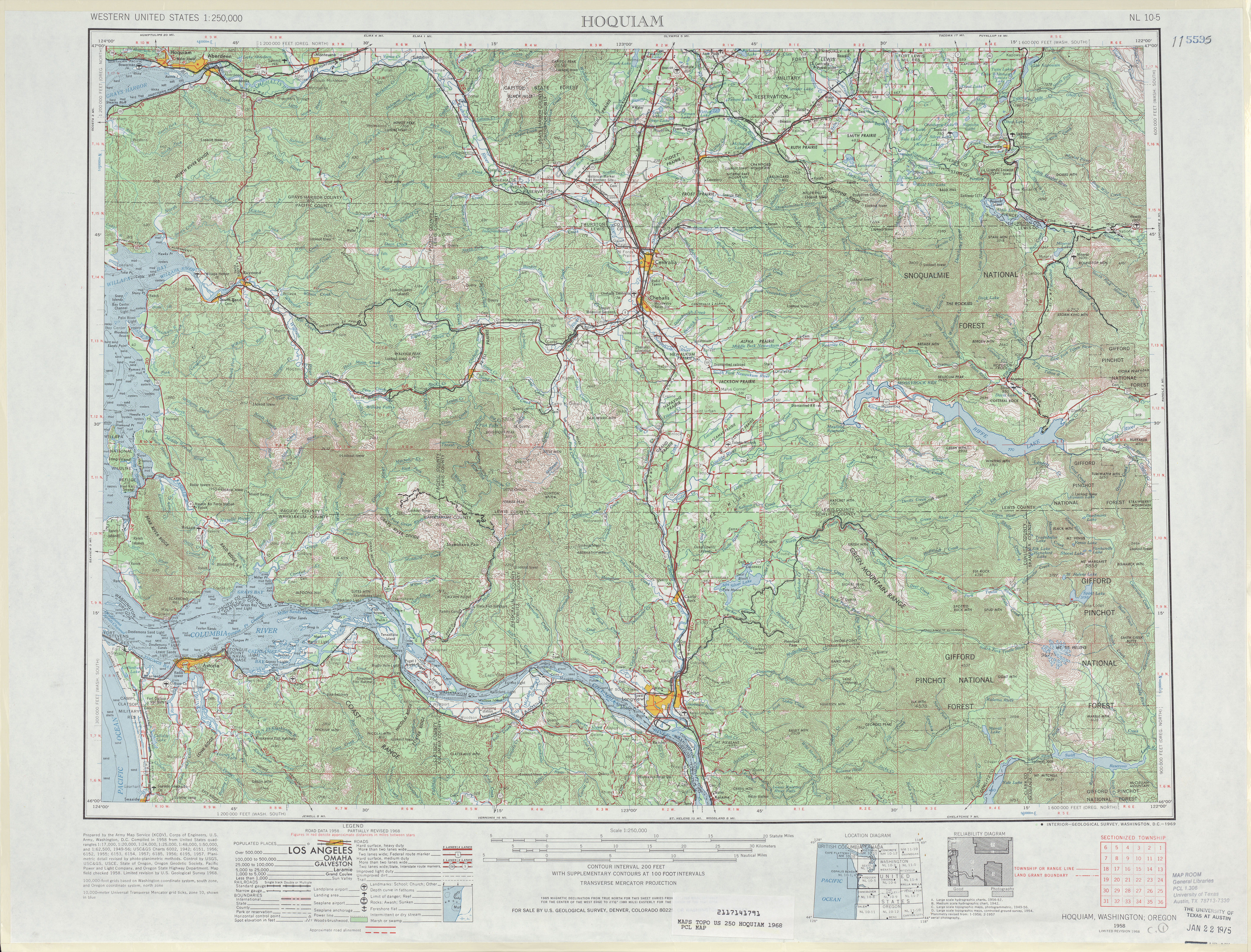
- ^ a b Hoquiam, 1968 (Map). 1:250,000. Cartography by United States Geological Survey. University of Texas at Austin. 1968. Retrieved July 18, 2009.
- ^ Jones, Pat (November 18, 2006). "The ups and downs of Bear Canyon Bridge". The Chronicle. Retrieved May 23, 2024.
- ^ "County's flood toll may cost $6 million dollars". The Daily Chronicle (Centralia, Washington). December 5, 1977. p. 1. Retrieved May 23, 2024.
- ^ SR 508 – Bear Canyon Emergency Repairs (Map). Cartography by Tele Atlas. Washington State Department of Transportation. 2007. Retrieved July 18, 2009.
- ^ Washington State Department of Transportation (2007). "SR 508 – Bear Canyon Emergency Repairs – Complete July 2007". Retrieved July 18, 2009.
- ^ "Design Complete, Repairs to SR 508 at Bear Canyon Begin this Spring" (Press release). Washington State Department of Transportation. March 22, 2007. Retrieved July 18, 2009.
- ^ "Contractor Selected, Emergency Repairs to SR 508 at Bear Canyon begin April 23" (Press release). Washington State Department of Transportation. April 12, 2007. Retrieved July 18, 2009.
- ^ "Limited Opening of SR 508 at Bear Canyon Begins June 25" (Press release). Washington State Department of Transportation. June 18, 2007. Retrieved July 18, 2009.
- ^ "SR 508 at Bear Canyon Reopens Today, Emergency Repairs Complete" (Press release). Washington State Department of Transportation. July 27, 2007. Retrieved July 18, 2009.
- ^ "Storm recovery continues in Southwest Washington" (Press release). Washington State Department of Transportation. January 15, 2009. Retrieved July 18, 2009.
- ^ "WSDOT to reopen SR 508 at Bear Canyon late today" (Press release). Washington State Department of Transportation. January 29, 2009. Retrieved July 18, 2009.
- ^ "SR 508 Tilton River Bridge restricted to single-lane traffic, no overweight loads" (Press release). Washington State Department of Transportation. April 9, 2009. Retrieved July 18, 2009.
- ^ Washington State Department of Transportation (2008). "WSDOT Structurally Deficient Bridges" (PDF). p. 3. Retrieved July 18, 2009.
- ^ "Repair work begins on SR 508 Tilton River Bridge, June 11" (Press release). Washington State Department of Transportation. June 5, 2009. Retrieved July 18, 2009.